High Pyrenees, 22-30 August 2019
← Previous Next → 0 1 2 3 4 5 6 7 8 9
Day eight. Aneto.
We climbed Aneto directly from Ibón del Salterillo. This is not the most popular route, we didn't see many people. We started just before dawn (around 7 am); a guide with a client passed by just as we were getting ready to start - they left the refuge at 5.30. If one starts later, they will be joining large crowds on Aneto, and there will likely be long queues at Puente de Mahoma. Because we started relatively early, only 5 people got to the summit before us in the morning.
We crossed some boulder fields and rocks and reached a dry glacier. We put on crampons and walked directly to the edge of the glacier just under Collado de Coronas. Here we left our backpacks and crossed a rocky ridge to another short stretch of glacier, so we had to put the crampons again. The only technical bit is Puente de Mahoma - this is a very short (about 30 m) arête. We put on harnesses just in case but there was no need for a rope. Descent from Collado de Coronas into the Vallibíerna valley starts with a short steep scree and then follows a good, well-marked path. We only saw two people going up this way. Routes to climb Aneto are well described on the internet, for instance, at hikepyrenees.
The blue line shows our track. The arrow shows direction of travel. Shift-click on the track link will open it in nakarte.me.
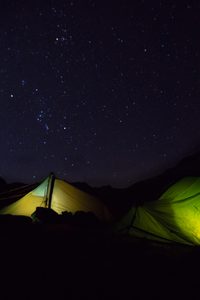
We woke up at 5.30 to a starry night. The Orion and Taurus constellations were easily recognisable.
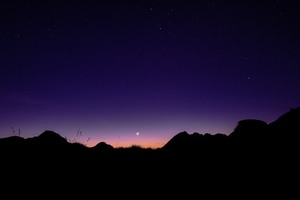
A crescent moon at dawn. Interestingly, the rest of the moon's circle is also clearly visible.
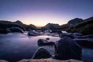
Sunrise at the riverside.
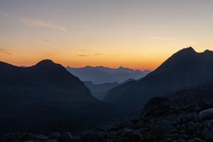
It is bright enough at 7 am to start walking.
Sun-lit Aneto. Our route is shown with the red line.
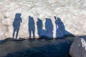
A little stream is still frozen.
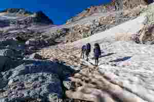
It is much faster to walk on the snow than to scramble on large boulders.
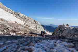
We put on our crampons. The snow is still hard frozen.
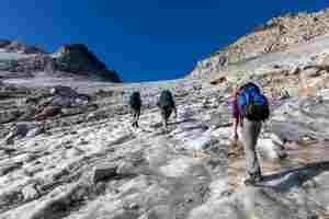
The glacier is not steep, we are moving quickly. The glacier is all covered with grey rocks, but this is the only proper glacier we had in this trip!

Victor is going up.
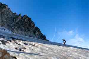
He reached a well-trodden path of the most popular route.
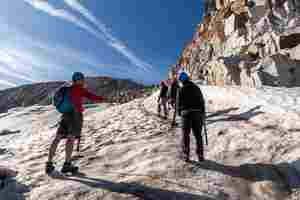
We left our backpacks by the rocks near the pass and went to climb Aneto. After crossing a small ridge, we got to another patch of hard snow so we put on crampons again. One can spon a man in yellow on the rocks. We are watching him with interest: he decided that climbing the rocks would be faster than putting on crampons. We reached the summit at the same time.
Looking back.

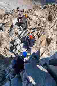
Puente de Mahoma: we are crawling on our knees. This is a very short scrambling section, we can already see the cross on the summit.
A view from the summit.
Looking west from Aneto.

We are at the top of the Pyrenees.
 |
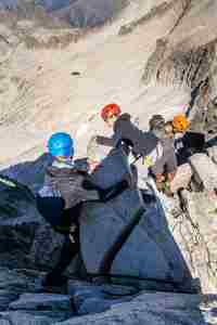 |
Puente de Mahoma again. Going down is always harder than climbing up - but it is only a 30 m long arête. The exposure is quite dramatic but the holds are very good.
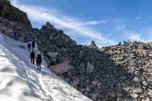
A path leads to Collado de Coronas but very few people go this way. Vast majority returns to Refugio de la Renclusa. A little triangular rock marks the pass: a natural cairn!
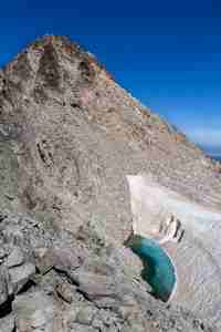
A beautiful turquoise glacial lake.
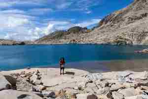
We dropped some 500 m and got to Ibones de Corobas - time for a break!
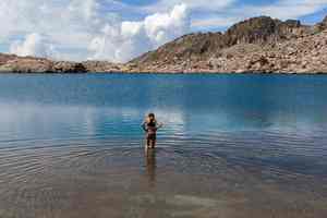
The water in the lake was very cold...
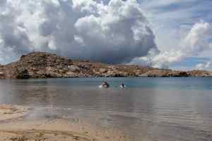
... but the sandy beach and warm sunshine tempted some to go swimming.
A free water slide with Collado de Coronas and Aneto in the background.
In the afternoon we descended into the Vallibíerna valley, having dropped well over 1000 m from the pass. We heard the rumble of distant thunder but the thunderstorms never reached us. We spent half an hour in Cabanos de Corobas waiting for the drizzle to stop. The original plan was then to go down a valley a bit and then climb the hills on the other side of the valley, but the path shown on the map along the Fangonielles stream did not exist, and fighting through the dense forest with big backpacks proved impossible. It was too late to go back up to Cabanos de Corobas and then up to Estibafreda. We decided to call it a day, camp overnight and just follow the road down the valley in the morning. We found a flat spot to pitch the tents. This area was used as a pasture, so there were lots of flies but they disappeared after sunset.
Day nine. We are going to the seaside!
It took us less than three hours to walk 10 km down to the car park.
The blue line shows our track. The arrow shows direction of travel, and the "P" icon shows our car park. Shift-click on the track link will open it in nakarte.me.
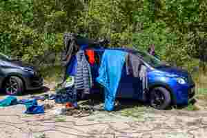
We bought some food in Benasque and drove to the seaside. We stopped for lunch by a lake which we spotted on the map. Unfortunately the lake turned out to be a reservoir with muddy banks, so we could not even get down to fetch some water. Never mind, we had some lemonade and plenty of food. While we were having lunch, strong sunshine dried all our belongings. We did not have any rain during the trip, so our stuff was almost dry anyway.
In the evening we reached El Vendrell where we booked accommodation for a few days.


