Narvik, April 1–7, 2026
This year Yasha and Magda invited us to go ski touring with them in northern Norway, in Narvik. We had been here three years ago with a large group, also in the spring. This year there was very little snowfall in the north. We even wondered whether there would be enough snow for skiing. The first day was very windy, so we picked up our rental skis, went for a walk near Narvik, and in the evening spent a couple of hours testing our gear not far from our house. The weather improved on the second day, and we finally headed out for a proper ski tour.
Day 2. Leigastinden.
The blue line shows our track. Shift-click the track link to open it in nakarte.me.
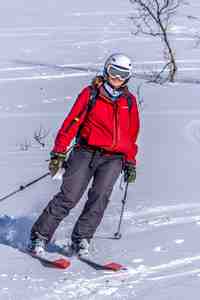
There were just six of us, not counting the two dogs.
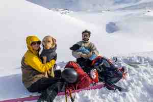
Magda, Yasha, Luna, and Vassi.
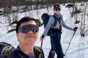
Donald and Julia.
 |
 |
Masha and Vitya.

If you start the route at 300 meters above sea level, there was enough snow to put on skis.

The weather was partly cloudy. As soon as we got a little way from the parking lot, we found ourselves in a winter fairy tale: no people, no tracks — just a snowy wilderness.
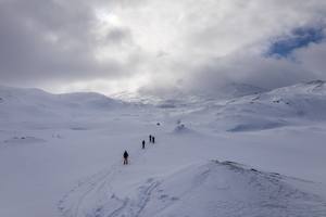
A tiny cabin appeared ahead, and far away through the mist we could make out our summit, Leigastinden.
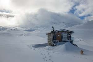
The hut on chicken legs.

Another couple of hours of climbing remained before reaching the summit.
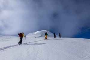
Higher up, the snow became firmer.
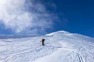
The summit was getting closer...

Beautiful snow-covered mountains surrounded us.

A steep section. After climbing it, we reached the final steep ridge, but suddenly a cloud rolled in and we found ourselves in dense fog. We decided that there wouldn't be any views from the top anyway, so we turned around and skied back down.
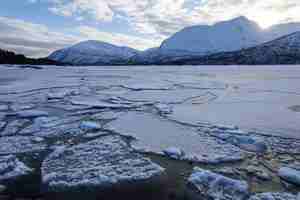
Our house was by Lake Skoddebergvatnet. It was still frozen.

On the opposite side, beautiful white slopes descended toward the lake. The following day we went to explore that side.
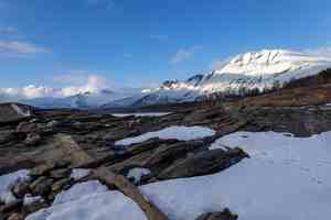
On the right side of the photo you can see Revtinden, the summit we climbed on our last day. The ascent follows the valley on the other side of the mountain. Further along the same ridge are several sharp peaks known as the Fox Ears.
Day 3. Kuberget.
We left the cars by the main road and started climbing.
The blue line shows our track. Shift-click the track link to open it in nakarte.me.
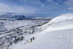
The slope was quite slippery, so our progress was slow. Snowy hills alternated with rocky cliffs that we had to walk around. On the way back we found an easier route.
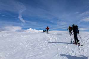
In the distance we caught sight of Nevertinden.

But it was still a very long way off. A cloud shaped like a DNA helix.

The dogs taking a break.

At one point we split up: one group headed back to the car, while the other continued on. An hour later we also turned around because it became clear that we wouldn't have enough time to reach Nevertinden.
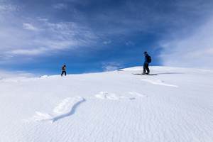
The snow on the slopes was beautiful: firm, with small wind ripples. From time to time spindrift swept across the surface, but it wasn't cold.

We often had to climb one hill just to ski across to the next one, then descend a little, climb again, and only after that came a fairly steep descent from the plateau back to the road.
Skoddebergvatnet
We returned home rather early. There was still plenty of time before evening, so we decided to skin on the opposite side of our lake.
The blue line shows our track. Shift-click the track link to open it in nakarte.me.

There was an "Entry forbidden" sign on the road, so we left the road and continued through the forest instead.

We followed blue trail markings painted on the trees. This is supposed to be a ski touring route according to our map.
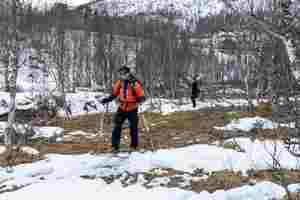
There was less and less snow... It looked just like skiing in England.

We reached the lake. Where small streams flowed into it, the ice had cracked and collapsed. Without sunshine it was difficult to take a picture to clearly show what had happened. We had never seen anything like it before. The water level in the lake is probably controlled by a dam. After the lake froze, the lake must have been partially drained, leaving unsupported ice that then collapsed.
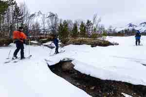
A snow bridge over a stream.

The ice along the banks of this stream was quite thick. Even so, we decided not to cross the lake and instead turned back toward the car.
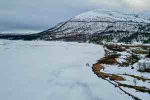
Drone photo. The dark streaks on the ice mark the channels of streams flowing into the lake. We get onto the ice from the forest at the foot of the mountain.


