High Pyrenees, 22-30 August 2019
← Previous Next → 0 1 2 3 4 5 6 7 8 9
Day one. Refugio Estós.
We had complex arrangement for assembling our group together. Igor with his family came earlier and the plan was for him to start from Aneto campsite towards Refugio Estós on day one. Victor, Maria and Sonya came later the same day and were going to catch up with Igor. Yasha and Lova came the day after and the plan was to meet them at the Batisielles lake. Taking into account total lack of mobile signal, this was a risky endevour - but everything worked out OK.
The blue line shows our track. The arrow shows direction of travel, and the "P" and house icons show the car park and the refuge. Shift-click on the track link will open it in nakarte.me.
We drove to the car park by the Aneto campsite, repacked our backpacks and started walking towards the refuge. The path was quite busy: we saw mostly families and large groups with children. We picked up a message left by Igor in a special hiding place (Cabana de Santa Ana) and learned that we were behind by 3 hours. We sped up...
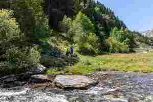
We finally caught up with Igor's family! They started making lunch by the riverside, not far from the main road. The timing was perfect: the soup was almost ready when we arrived.

A little farm in the valley.
 |
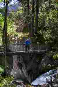 |
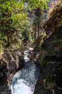
A picturesque gorge not far from our lunch spot.
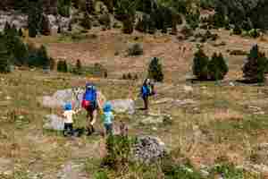
The boys were happy to walk with Sonya.
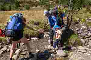
Crossing a stream. We tried to get to the refuge by walking on the right side of the river Estós, but there was no path, so we came back and followed the main path.
We got to the refuge by 5 pm. This was a long day for the littles ones, but they coped with it well. We had 2 hours to kill before dinner, and there wasn't much to do in the refuge. It was quite busy, many people did hut-to-hut walks.
Day two. The Batisielles lakes.
Our plan for day two was to meet with Yasha and Lova and to visit the most picturesque local lakes. It was another long day for the kids, with considerable altitude gain and loss, all on small paths, it even included crossing a little scree.
The blue line shows our track. The arrows show direction of travel, and the house and tent icons show the refuge and our camping spot. Shift-click on the track link will open it in nakarte.me.

We got up early - the breakfast is served early in the refuge. This is Estós valley which we ascended yesterday.

Our refuge seen from the opposite side of the Estós river.
 |
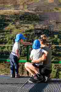 |
Michael and Leonid are ready to go.
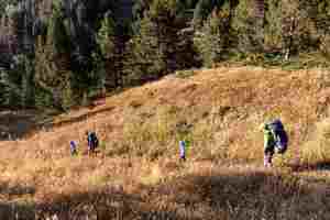
We crossed the river and traversed the other side. The path goes through meadows and some forest.

A short break in the shadow, to avoid the heat.
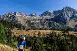
On the other side of the valley one can see the hardest pass of our trip: Portillón de Oô (hover the mouse over the image to see the annotation).

Ibonet de Batisielles. Here we met with Yasha and Lova who left England a day after us.

Crossing a scree!
Ibón Grande de Batisielles.

We relaxed, cooked lunch...
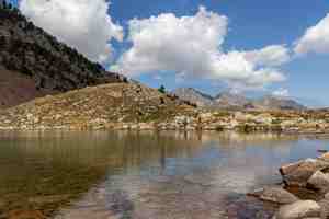
...had a swim and finally started back down.
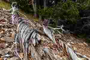
A twisted tree.
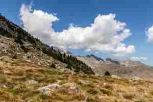
Walking back to Ibonet de Batisielles.
We picked up our backpacks which we left in a little cabana by Ibonet de Batisielles and an hour and a half later got to our camping spot by Ibones de la Escarpinosa. There were two other tents nearby but this was no problem at all.
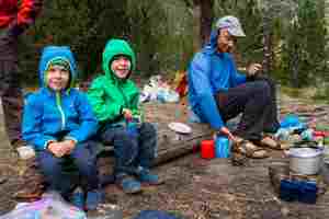
A dinner...
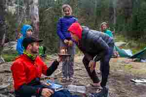
...with a birthday cake!

A starry night.
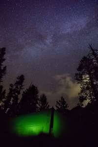
Milky way above our tent.


