High Pyrenees, 22-30 August 2019
← Previous Next → 0 1 2 3 4 5 6 7 8 9
Day six. Col des Crabioules.
Col des Crabioules is not a technical pass but route finding on the French side could be challenging. There are route descriptions at bucuesa and camptocamp. One has to find a pass through a rocky side ridge and avoid constantly going up and down between the morraines. It would have been hard to find the best descent route in poor visibility. One has to go through several fields of large boulders, it takes a while to cross them. There are many cairns but some are far away from the best line of descent.
The path from the Maupas refuge to Puerto Viello unexpectedly turned out to be really interesting and picturesque. Cut in the mountainside, the path goes through several beautiful lakes. We did not meet any people on the path. The Puerto Viello pass presents no difficulties but it is a nice gap in the ridge. There are descriptions at komandokroketa and wikiloc.
The blue line shows our track. The arrow shows direction of travel. Shift-click on the track link will open it in nakarte.me.
This was our first morning with no sunshine and a little drizzle. There were lots of low clouds earlier on and we were even wondering whether we would be able to cross the pass with no visibility. But after a little while the clouds lifted and visibility improved.
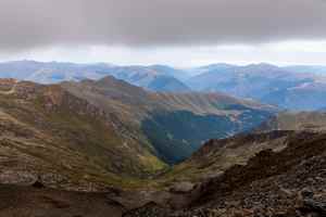
We climbed up the Remuñe ridge and descended to Col des Crabioules. There were still lots of grey clouds but the visibility has much improved.
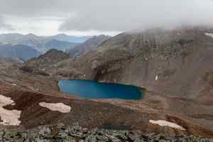
The summits are hiding in the clouds. Ibón Blanco de Lliterola is not the same colour as yesterday.
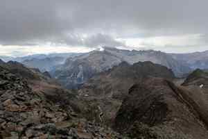
The ridge separating France and Spain. When there is no sunshine, everything turns black and white .

Victor is descending the ridge to Col des Crabioules. Hover the mouse over the picture to see annotations.
This is Aneto (3404 м) - the highest peak of the Pyrenees. We will get there at the end of our trip.

Where is the path?
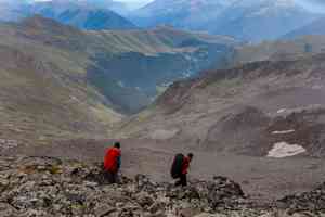
This is France. On the hill on the other side of the valley one can see the buildings of Superbagnères, a ski resort. Hover the mouse over the picture to see the pass through a small rocky ridge and ascent to a plateau leading to the Maupas refuge.
We are at Col des Crabioules, looking back towards Lliterola valey. Yesterday we did the colourful ridge at the back which drops on the right to Collado superior de Lliterola.
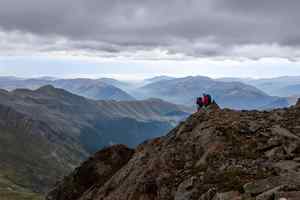
The fog in the French valleys has never lifted.
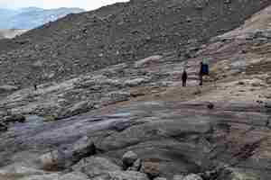
These smooth rocks used to be a glacier floor. The rocks are wet and pretty slippery.
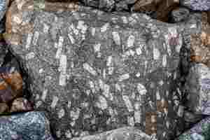
An unusual type of rock with cube-shaped quartz crystals, very common in this valley.
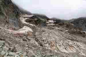
Looking back at the pass which we descended from, just about visible in the clouds.
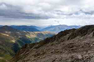
A few more boulder fields and we will get to a proper path.
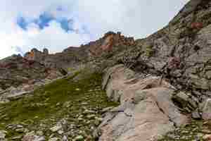
The slope leads us to a plateau with a good path down to the Maupas refuge. The wall behind the slope resembles a castle with little turrets.
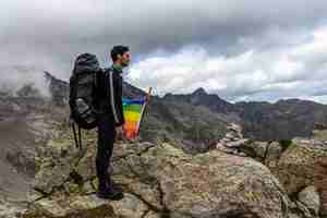
A rainbow flag at the plateau. Yasha is looking at the Maupas refuge and a ski lift.
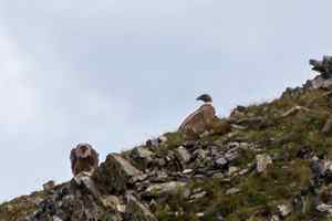
There were many griffon vultures in this valley. Yasha took a few pictures.
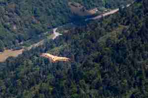
A griffon vulture (Gyps fulvus) is floating through the air.
The path traversed the mountainside. The sun came out and cheered everything up. This is Lac Vert with an island in the middle.
The clouds were rising from the valleys and melting in the sun.
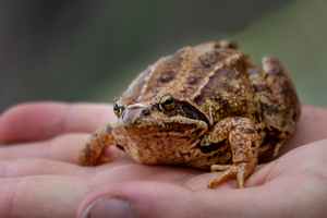
What a lovely toad!

The path started climbing up a little. It was cut through the rocks. There is a waterway under the path which goes from Lac Célinda.

We are getting close to Lac Célinda. The rocks in the gorge on the left look as though somebody cut them with an axe.
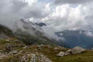
Low clouds in the mountains are always an amazing sight.
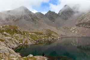
The water in Lac Célinda is dark blue and very clear. The triangular rocks on the other side would cloud over every now and then, only to become clear again a few moments later.

The gap in the ridge is Puerto Viello (an old port), our last pass for today. It leads back to Spain.
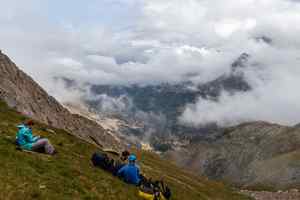
We decided not to follow the path down but traverse directly to Ibón de Gorgutes.

There were even more clouds in Spain.

The traverse was a mixture of grassy slopes and screes. The peak hiding in the clouds is Montañeta, tomorrow's goal. Hover the mouse over the picture to see an annotation.
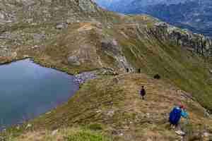
Descent to Ibón de Corgutes.
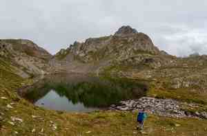
We found a flat spot for the camp. We had our first (and the only) rain this evening, we even put up our big tent to provide cover for the cooking dinner.

Do we really have to climb Montañeta tomorrow? It looked so steep in the clouds that we were considering going down into the valley as an alternative. But in the end we decided to try and climb it.


