High Pyrenees, 22-30 August 2019
← Previous Next → 0 1 2 3 4 5 6 7 8 9
Day seven. Pico de la Montañeta.
We climbed Pico de la Montañeta by a grassy slope from Ibons de la Solana de Gorgutes. The slope becomes increasingly steep and then slpits into several gullies. There is much loose rock and one can only climb this route if there are no people above or below. The best route is to follow the right-most coloir. The loose rock in this gully is very unstable, so it is better to climb the rocks on the left. Although the rocks are also unstable, scrambling is easy, there is no need to use a rope. Before the coloir ends at the ridge, it becomes less steep, and scrambling becomes easier. Scrambling up the ridge is easier still and soon turns into a walk. The French side of the mountain has no difficulties, there is a good path. We found only one description of this route at pirineos3000.
The section between Puerto de Benasque and Plan d'Aigualluts is busy with walkers, but the path further up becomes remote again.
The blue line shows our track. The arrow shows direction of travel. Shift-click on the track link will open it in nakarte.me.
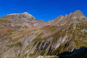
Excellent weather in the morning. This is Puerto Viello which we did yesterday. Hover the mouse over the image to see our route.
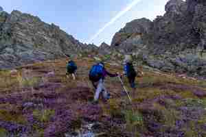
After some hesitation we decided to climb Pico de la Montañeta. At first, we climbed a steep, wet grassy slope, all purple thanks to blooming heather.

Here the slope splits into several coloirs. We followed the one on the right (hover the mouse over the picture to see our route). Yasha and Lova went to check if the other coloir was better. It was not. The slope was very slippery and they constantly knocked down loose rock. They found getting down to their backpack very challenging.
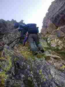
We climbed the rocks on the left wall of the coloir in small groups, to avoid knocking loose rocks on the others.
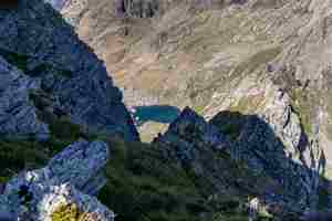
Once we got to the ridge, scrambling became very easy. Looking back at Ibons de la Solana Corgutes.
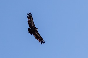
A floating griffon vulture.
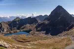
A good path leads down from the summit. We are in France again. The lake below is Lac de la Montagnette. We are going to cross Col de la Montagnette in the middle of the picture.
An amazing view of the Maladeta massif.
As soon as we got to the top of Montañeta, a small plane appeared.
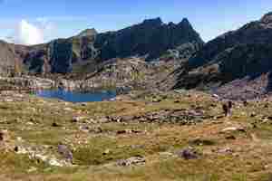
It was very quiet with no wind. The rock reflection in the lake was still.
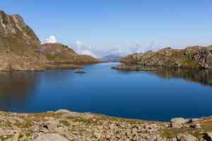
Lac de la Montagnette is about to spill over the banks.
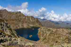
Lac de la Montagnette as seen from Col de la Montagnette.
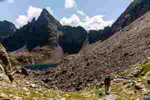
We crossed the scree to get to Puerto de Benasque (in the middle of the picture). This is faster than to follow a path around the lake.

Looking back from Puerto de Benasque at Col de la Montagnette and the scree we have just crossed.
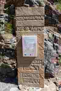
A plaque at Puerto de Benasque. This pass leads back to Spain and is very popular with walkers.

Another view of the Maladeta massif.
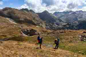
Now we have to cross the deep valley and then go up to the foothill of Aneto. The rocks here are light grey, although this is not limestone. This mountainside looks like Yorkshire Dales.
Pic de Sauvegarde is like a sail. Puerto de Benasque is the right-most gap in the ridge.
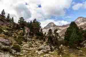
We are walking up the Ésera valley.

Further down the stream is almost dry; here (Forau de Aigualluts) the river disappears in a cave after an impressive waterfall. The mountain that looks like a knight's helmet is Tuca d'Aiguallut o de l'Escaleta.
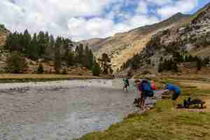
A large plateau above the waterfall is Plan d'Aigualluts. We are forcing the river.
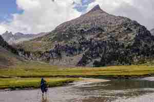
The stream is not deep but the water is cold.
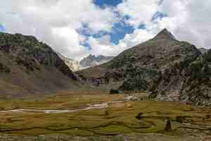
Lots of little streams on the plateau.

A marmot (Marmota marmota).
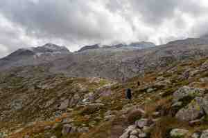
We are going up, there are no more trees. We can now see Aneto.
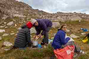
Our campsite at the altitude of almost 2500 m by Ibón del Salterillo. We are cooking dinner.
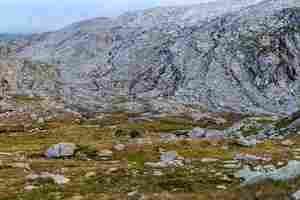
This is a very nice camping spot, there is nobody around. Several glacial streams are merging into a river.
We had some time to relax and play a guitar.
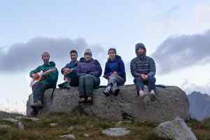
A selfie.


