High Pyrenees, 22-30 August 2019
← Previous Next → 0 1 2 3 4 5 6 7 8 9
Day five. Portillón de Oô и Pointe de Literole.
This was the most technical albeit not the longest day. Route descriptions are at komandokroketa and topospyreneens. The Portillón de Oô pass is reached by a steep loose scree. The other side has very steep with loose rock and a steep dry glacier. We first considered fixing ropes on the glacier, but loose rocks fell down the glacier every few seconds, so this was not an option. We descended a scree by the glacier and then fixed two 30 m ropes. We did not have longer ropes, the last person to rappel tied two ropes together and then pulled them down. One should not abseil straight down to avoid knocking loose rock onto people below. In general, descent is only possible if there are no other groups above or below you. We noticed two sling tats with carabiners on the rocks on the left. There probably was another one higher up, near the pass or even above it on the ridge. We used the bottom tat as a rappel achor for our second rope. Once safely down, one has to cross the scree quickly as the falling rocks from the glacier reach the scree.
We really enjoyed the ridge to the north of Collado superior de Literole. It is not difficult (passable with a heavy backpack) but very nice, quite narrow in places. Time permitting, one could also take a detour to climb Pico Perdiguero. The ridge is probably quite busy in the mornings, but we did not see anybody. There are many route descriptions on the internet, e.g., at philrando, komandokroketa, Pirineos3000, romanosherpa or Pyrenees-Rando.
The blue line shows our track. The arrow shows direction of travel. Shift-click on the track link will open it in nakarte.me.

Our camping spot in the morning. A great place to enjoy sunrise!

Lova is cooking breakfast.
 |
 |
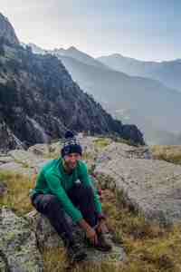
Getting ready to start.
Note a wide flat ledge on the other side of the ravine, above Victor's head in the picture. Yasha suggested this would make a great camping spot (except for the lack of any water).
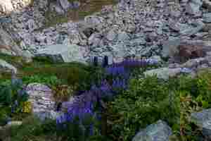
There is no water in the stream here, just some flowers (Aconitum napellus). Steep rocky steps alternate with flat meadows.
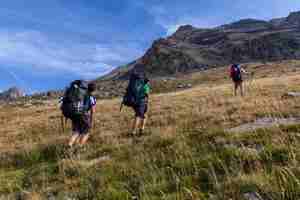
A pleasant walk on a grassy slope.
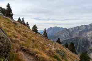
This is the last patch of grass, higher up there are only rocks and screes.
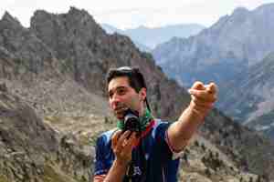
The members of our group: Yasha.
 |
 |
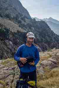
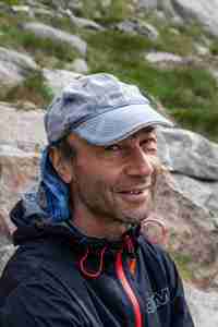
Victor. |
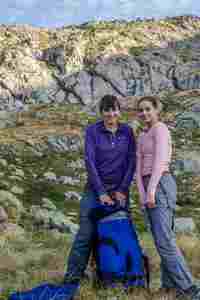
Lova and Sonya. |
 |
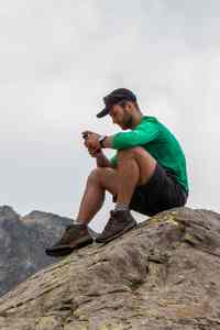 |
Maria. |
Connection to the outside world. |
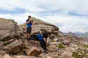
The mobile signal is a rare find, there is often no signal even on the high ridges.
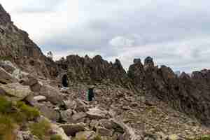
We crossed a small sharp ridge (the Molseret pass) and got to the foot of Portillón de Oô.
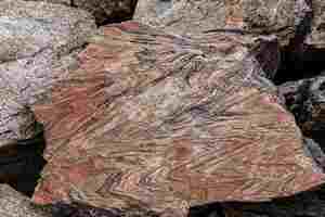
Zig-zags on a rock.
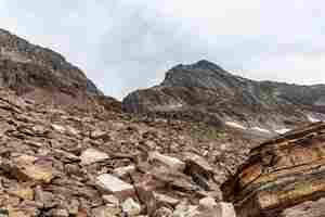
Another scree. The peak in front of us is Pico Perdiguero.

More stripy rocks.
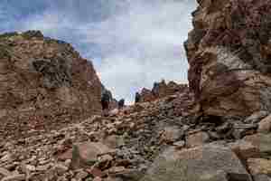
The last few metres before the pass.
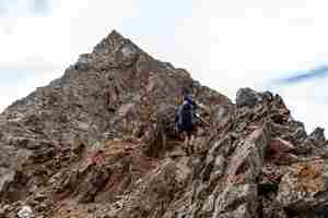
The pass was an exposed and windy place. When we were descending a little lower, Sony suddenly slipped and started falling. Fortunately, Yasha managed to catch her backpack and stop her. Sonya was on a fairly flat ledge but the drop below was very steep, so this was a rather disturbing moment.
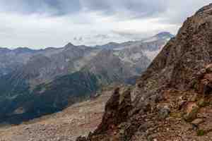
Looking back towards the Estós valley. We are at a border between Spain and France.
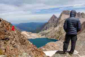
France met us with a steep glacier, lots of loose rock and a beautiful lake down below.

We are descending from the pass. Lova is waiting at the second rappel station. Sonya is getting ready to abseil. She is belayed from above.
 |
 |
Ropework always means a lot of waiting. |
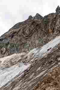
Quartz veins on the rocks above the glacier. |
 |
 |
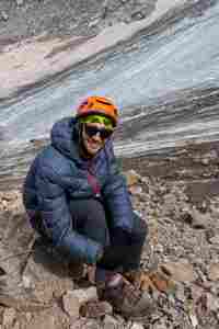
Lova at the second rappel station. One can see the sling tat on the boulder just behind Lova. We used it to fix the second rope. |
Yasha's turn to go down at last. |
 |
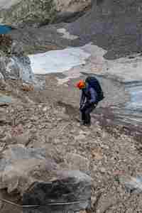 |
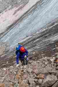
Abseiling the second ropelength.
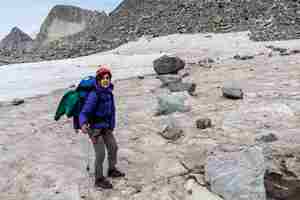
A line of rocks on the snow, like soldiers at a military parade. This snow field must be crossed quickly, some falling rocks easily reach it.
Looking back at the pass. The last group members have packed away the ropes and are coming down. A little stream can be seen at the bottom of the picture. When Lova went to fetch water from this stream, he had to dodge falling rocks.
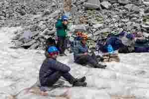
Lunch at the edge of the snow field, safe from falling rock.
Our descent is clearly visible on this panorama. The red lines show descent on the rocks, and the blue and green lines show fixed ropes.
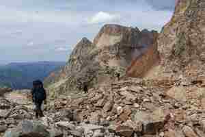
Lunch is over, we are going up to Collado superior de Lliterola. We followed a well-marked path and got there in less than an hour.
A view from the pass towards Ibón Blanco de Lliterola.
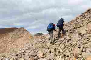
We climbed the ridge towards Pico Royo from the pass, following a good path.

White rocks alternate with the red ones, which are followed by the white ones again.
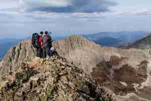
Our last summit of the ridge (Pointe de Literole). The ridge narrows here, and even though it is easily passable (Lova ran down and up to check it up), Sonya said that she had had enough scary time for today. We decided not to cause her any more discomfort and descended directly from the summit.
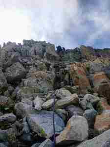
The descent was not too steep. Sonya abseiled, the others either descended without using the rope or held it for comfort.
An amazing view from the ridge: colourful mountains, turquoise lakes, white snow, and a griffon vulture (Gyps fulvus) flying above our heads. We camped by the lake with floating snow.

The large lake Ibón Blanco de Lliterola is much lower than the small glacier lake on the left.
We found a great camping spot which was obviously used before. As we came here quite late, we did not see any people. The next day we climbed the ridge behind us. The red line shows the line of ascent.
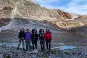
A family portrait.
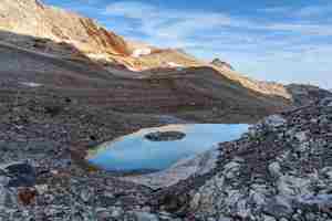
This lake has a shape of a heart with a rocky island in the middle and a snow patch at the front. This is all that is left from a large snow field which was here earlier in the season. We thought that we would either see the remains of glacier Lliterola or at least this whole place will be covered by snow. We planned to camp on the snow.
Yasha walked to the foot of Collado inferior de Lliterola to take this picture.


