Arran, 23–25 August 2025
We had only just returned from the Pyrenees and hadn't planned to travel far again. But that weekend came with a bonus Monday off, and it felt a shame to spend three days at home. So we decided to head to the Isle of Arran in Scotland. About fifteen years ago, we almost made it to Arran, but Sonya fell ill on the way, and we had to turn back. This time, everything worked out!
The blue, red and black lines show our tracks for the first, second and third days. Shift-click the track link to open it in nakarte.me.
Day One
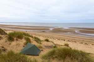
On Friday evening we reached the town of Irvine and camped in the dunes, ready to catch the ferry in the morning. We left the car in the car park and boarded the ferry as foot passengers. The advantage of travelling by public transport is that it allows you to plan a through route.
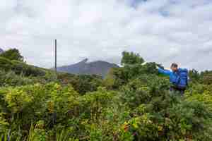
We took a few stops on the bus and got off in the hills. Our goal was that peak over there - Cioch na h-Oighe. All the mountains were shrouded in cloud.
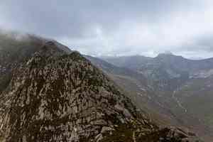
We approached the ridge and began the climb. The path wasn't always clear, especially across the rocks. At one point, a vertical arrow marked the start of the scramble. It wasn't difficult, once you found the right line.
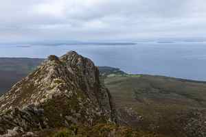
The weather began to improve little by little. A view towards the mainland.
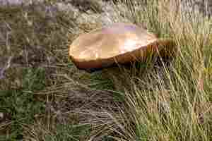
At 800 metres, well above the treeline, we found a single porchini mushroom.
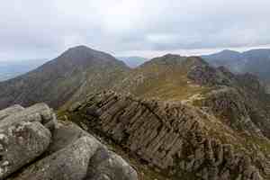
The path runs along the ridge.
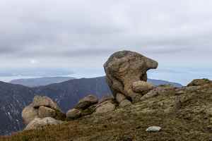
The main rock here is hard sandstone. From time to time, tors rise up along the ridge. This one looks like a goblin's head.
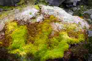
On one slope we noticed bright white patches. We thought they were veins of quartz and went over to have a look. It turned out they weren't quartz at all, but white bags used to transport stones by helicopter. In the Lakes they use the same bags to bring in stones for paving paths. Here, perhaps, they collect the stones to build paths elsewhere. This colourful moss grew by a spring near the white bags.
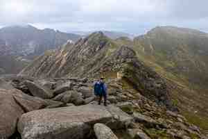
You can walk the entire northern part of the island along the ridges.
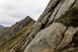
A wall of sandstone.
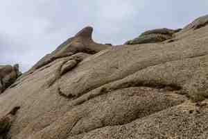
A shark.

A little mole.
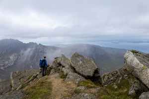
Clouds drifted all around us. We climbed Goatfell, the highest point on the island. It was absolutely packed with people, yet as soon as you step a little aside, there's no one at all.
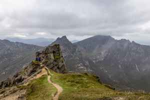
A path of yellow sand. We reached a col and descended into a valley to camp by a stream. That was our mistake. As soon as we stopped, the midges descended on us. Our head nets came in handy, but even so, all we wanted was to dive into the tent and hide - which we did straight after dinner.
Day Two
In the morning the clouds drifted all around us - or rather, we were walking inside them. The number of midges hadn't changed one bit :)
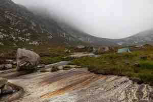
The riverbed where we'd camped was formed of smooth rock ledges, streaked with rusty iron deposits.
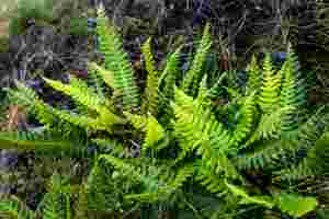
Bright green hard fern (Blechnum spicant (L.) Roth).
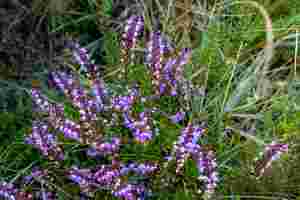
The heather here is also a striking colour (Calluna vulgaris (L.) Hull).
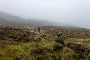
The cloud thickened completely and the rain began, though the forecast had promised sunshine!
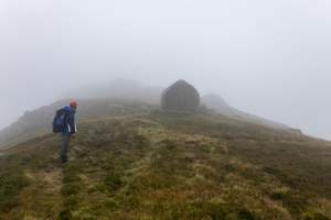
We climbed up to the ridge without a path. A round rock in the mist.
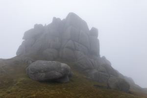
A stone castle. This is the well-known crag called Witch's Step. We skirted it from the side. Coming from the opposite direction, you could climb it with a rope, but it's not an easy scramble.
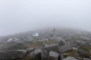
The white bags of stones we'd mistaken for quartz veins.
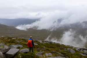
The rain kept pouring down. We even began to wonder if we should head back, but then the weather started to improve.
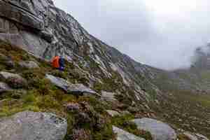
A breeze picked up and the rain stopped. Above us loomed the ridge of A'Chir. People do traverse it, but it's well beyond our comfort zone, especially in weather like this, so we went around it. Clouds spilled over the ridge. The slope here is one solid rock slab.
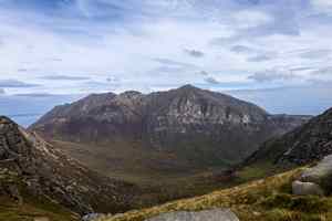
The sun came out, and we decided to stay put. A view towards Goatfell.
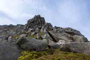
Another "castle" ahead. The rock formations here are simply amazing.
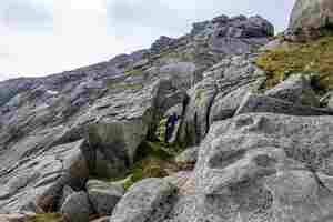
A stone arch.
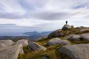
Far out at sea lies Holy Island, shaped like a little volcano.
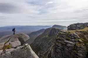
Below us, a deep gorge with sheer cliffs.
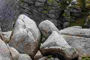
A puffer fish.

The valley of the river Glen Iorsa in the far north of the island.
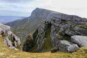
Another rocky ridge. In two days we covered the whole northern "mountainous" part of Arran, visiting nearly every ridge and summit.
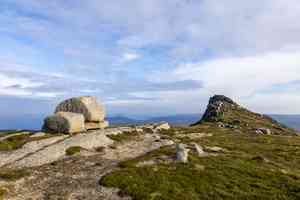
Time to start heading back. This time we decided to camp high on the ridge, away from the midges. There was no water up there, but we'd filled our bottles on the way. The midges found us anyway, but there were breezier spots where the wind blew them off.
Day Three
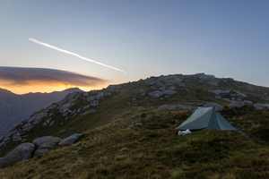
We got up with the first rays of the sun.
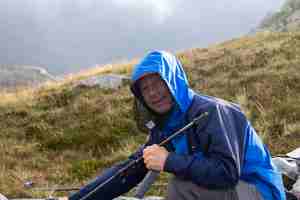
Vitya packing up while wearing his head net.
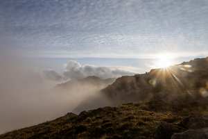
The sun rose, and clouds began to lift from the valley.
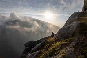
An otherworldly landscape.
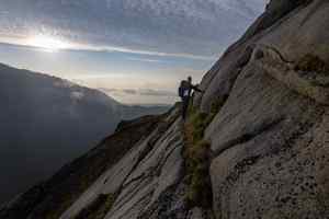
There was no real path here, so we simply descended, trying to avoid the rock ledges.
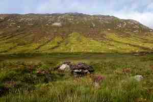
We reached the valley. The main path follows the river.
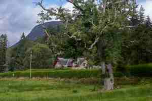
A fairytale cottage. Along the way we passed through a botanical garden. Arran has a remarkably mild climate: there were palm trees, bananas, and all sorts of exotic plants growing here.
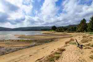
We came out to the seashore and followed it towards the town of Brodick. Vitya even went for a swim, though there were plenty of jellyfish washed up on the sand. We had a couple of hours left before the ferry.
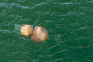
On the ferry back, the sun was shining brightly. We could see both the mainland and the Isle of Arran. Jellyfish drifted in the water below.


