Norway, 6-13 August 2023
1 2 ← Previous Next → 3 4 5 6 7 8
Days three and four. Børvasstindan.
The weather in Sweden was not promising, so we travelled further north to Norway the next day.
The blue and red lines show our track on the 8 and 9 August. Shift-click on the track link will open it in nakarte.me.
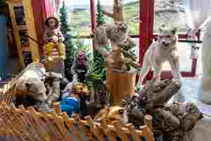
At the edge of the Arctic Circle, right in the middle of the tundra, they built a large information centre. You can buy souvenirs and food and look at the local fauna.
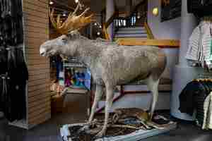
We didn't see any elk, only their hoofprints.
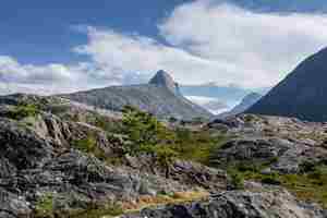
The weather was very unusual for the north of Norway: the temperature was 28 degrees with a very strong wind. We had lunch and went for a hike in the mountains near Bodø.
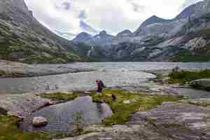
The path in the valley was well marked. It followed the banks of the lakes. At first we saw quite a few people, but the further we went, the fewer people we met.
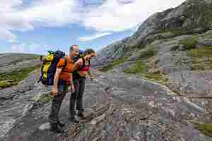
Wind gusts nearly knocked us down, but our backpacks kept us on our feet.
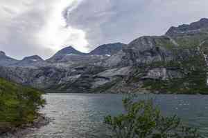
Waves on the lake.

In these places the valleys are all on different levels: a flat patch with a lake, a steep ascent, then another flat plateau with another lake. And so on.
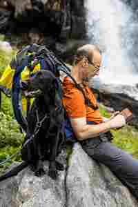
Luna waits patiently for Victor to check the map.
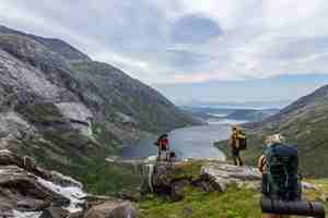
Viewpoint by the waterfall.
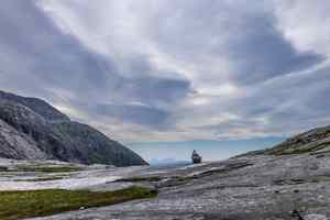
Blue mountains in the distance.

A crescent-shaped snow-field. Initially we were going to cross this ridge between the two peaks, but due to strong wind we decided not to climb too high and walked around the ridge.
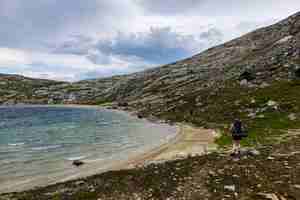
The highest lake of today. While we were resting, we got unexpectedly caught by heavy rain. Luckily it was very warm but we did get soaked.
We came down from the pass and camped on a sandy beach. The wind had deceptively calmed down, and suddenly a gust blew away the raincover from our rucksack (we never found it) and bent the tent poles. In the morning we were greeted by sunshine.
The lake was just above the tree line. It was so beautiful, and not a soul around. We saw a lot of moose tracks on the lake shore.
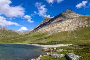
The path to the pass goes on the left-hand side, it is difficult to climb up the pass straight on. All the mountains around are shaped by glaciers.
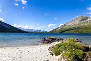
The water in the lake was very clear, but for some reason we didn't go swimming.

It seemed impossible to climb up such smooth rock, but it was dry and not slippery, and the path traversed to the right.
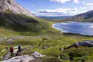
We spent last night at a small cove at the very end of the lake.
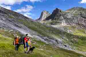
There was a small patch of snow in the crack that divides the mountain in half. After some deliberations, we decided that it was snow and not white quartz.
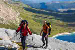
The higher we climbed, the stronger the wind blew.
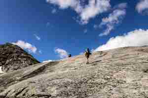
The dry rock was a pleasure to climb.
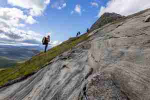
Especially when it is so patterned.
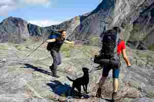
The wind was getting stronger and stronger.
One gust knocked Magda off her feet. We had never hiked in such wind before.
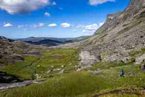
As soon as we crossed the ridge, the wind died down. Here flat areas again alternated with steep steps. The path was marked with orange flags. How do you secure them so they don't fly off?
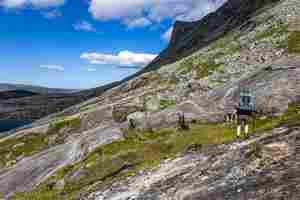
We went lower and lower along the rocky slopes.
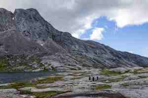
Another lake and a step down to the next level.
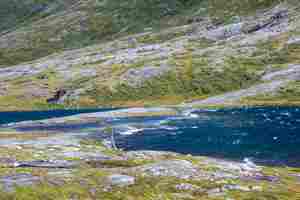
The wind drives waves on the lake.
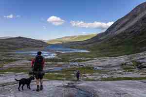
One lake flows into the next.
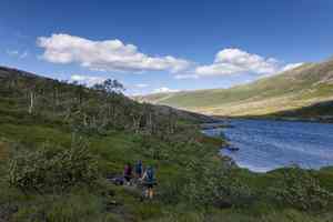
We are below the tree line.
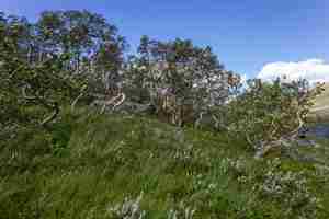
It is not surprising the birch trees here are bent. Try to survive in such winds!
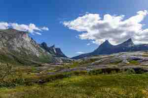
Looking back at our pass. The peaks resemble shark teeth.
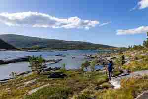
The path went along the lakeshore.
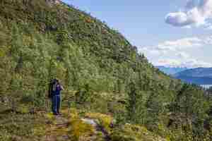
And then climbed up a steep cliff above the lake.
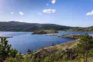
There were many islands in this part of the lake.
Even here the wind was still quite noticeable.


