Rutor massif, 28 August - 3 September 2020
0 1 2 3 4 5 ← Previous Next → 6 7 8
Day 7. Pointe de la Crosatie.
The return via Col de la Crosatie wasn't boring as we feared. The path climbs up to a minor ridge and is protected by some cables in places. There is no need for this protection in good weather.
The blue line shows our track. The arrow shows direction of travel. Shift-click on the track link will open it in nakarte.me.
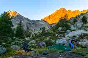
Our camp on a small flat spot not too far from the path, just big enough for two tents. It is not clear what was the original purpose of cutting this flat terrace, but we made good use of it. Fortunately, we found a little stream nearby. Even though we got down to 2300 m, the temperature plummeted overnight: water froze in the bottles and everything was covered by frost. The mountains are lit by the sunshine; Passo Alto is just at the edge of the shadow.
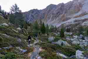
We are following the path down. It was difficult to fight through the forest without paths yesterday, big boulders were surrounded by pine and larch tress, juniper bushes. But on the plus side there were many bilberry plants!
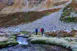
Crossing the river proved easy, we simply jumped across.
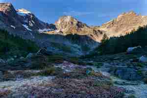
The sun hasn't reached this side of the valley yet, so it is cold and the grass is still covered by frost.
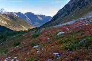
At first, we couldn't understand why the opposite side of the valley is reddish. We thought it was some red rocks but it turned out to be bilberry plants.
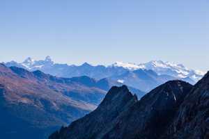
The path climbs a side ridge and then follows it to the pass. Matterhorn and Monte Rosa became clearly recognisable. Hover your mouse over the picture to see the annotations.
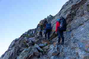
In places the path was protected by cables but they are not needed in good weather.
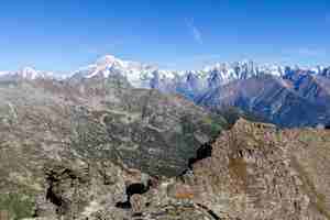
A view from the ridge.
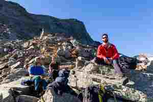
A rest break. We finally came out of the shadow.
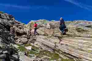
After reaching the pass, we climbed the adjacent summit. The rocks resemble wooden planks.
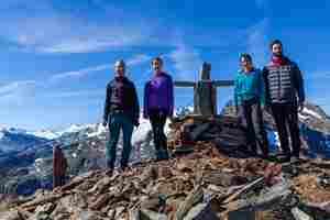
A family portrait at the summit.
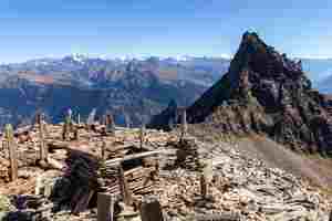
Cairns at the summit resemble a cemetery.
Famous summits visible from the top.
We got to Lac du Fond and continued further down into the Planaval valley.
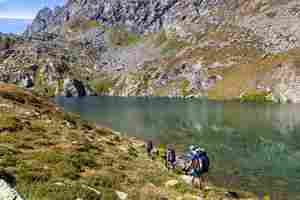
The lake was so clear that we could not resist the temptation to take a dip. There were a few other people by the lake but quite far away from us.
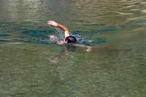
We were the only bathers.
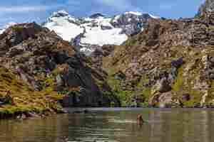
A swimming pool with glaciers in the background.
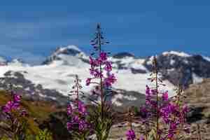
Fireweed.
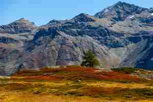
We finally got down to Baraques du Fond where we spent a rainy day at the start of the trip. We managed to find Sonya's harness which spent a whole week in the shelter. The sun-lit valley was hard to recognise.
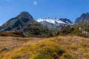
This is Passo di Planaval (on the right).
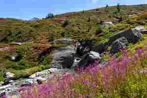
The river is blue and not opaque as it was in the rain. The rocks are covered by bilberry plants.
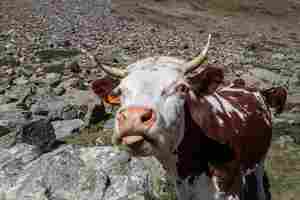
A Very Friendly Cow.
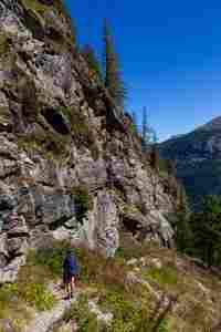
Descending the path in good weather and with lighter backpacks is much better.
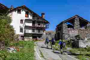
The La Clusaz farm where we left our car. The houses appear uninhabited but a farmer lives here with the family.
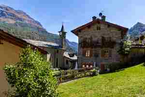
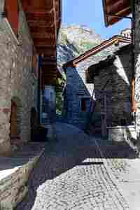
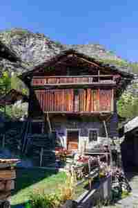
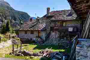
We stopped in the Planaval village and walked its narrow streets.
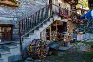
The building were very attractive. They are rented out to ski tourers in the winter.
 |
 |
Narrow cobbled lanes.
 |
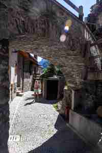 |
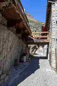
Bridges above the streets. The wall of the house on the left is cut in a rock.
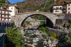
We drove south and stopped in Point-Saint-Martin. We stayed here 5 years ago when we were returning from a skiing trip to Cervinia. This is a famous Roman bridge over the river Lys.
We stayed overnight in the Mombarone camping which proved very clean and friendly. It is about an hour's drive from the Turin airport. We dropped Yasha at the airport early in the morning and continued to the seaside.


