Rutor massif, 28 August - 3 September 2020
0 1 2 ← Previous Next → 3 4 5 6 7 8
Day 4. Col de Tachuy.
The view of rocks above the Grand Assaly glacier, peppered with fresh snow and ready to fall down, forced us to abandon our initial plan to climb Grand Assaly. Instead, we walked up to Col de Tachuy in the afternoon. The path to the col has no technical difficulties. We first thought of going up Fréduaz Orientale, but it was hidden in thick clouds all afternoon while Col de Tachuy was mostly clear. When we were returning back to our backpacks, we tried to work out if there is a way to cross from the Bellacomba valley to the Maisonnettes valley (i.e., via a pass between Thuilette and Fréduaz Orientale summits), but it looks like there is no reasonably-passable way.
The blue line shows our track. The arrows show direction of travel. Shift-click on the track link will open it in nakarte.me.
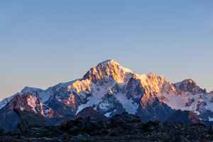
The morning greeted us with wall-to-wall sunshine. This is Mont Blanc at sunrise.
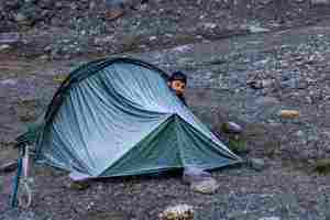
Good morning!
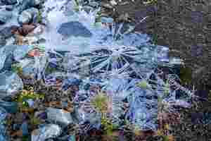
It was a cold night, there was ice everywhere.
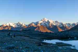
Our camp with Mont Blanc in the background.
The mountain reflection in the water. This is Grand Assaly. The red line shows standard approach to the ridge, and the annotation shows the rocks which we thought might start falling down when the snow would start thawing. We decided not to venture there.
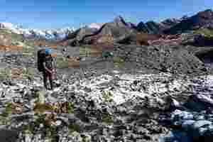
A frozen stream.

We started climbing down into the valley.
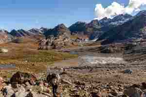
Another glacial lake.
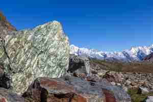
The flat terraces were made colourful by these large green and brown rocks.

Glacial lakes are all interconnected with little streams like beads on a string.
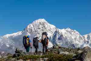
Mont Blanc appears within touching distance - but it is actually about 20 km away.
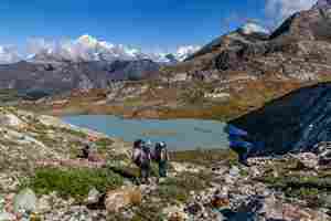
Lac des Seracs.
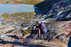
We are descending on smooth rock. The stream flowing into the lake forms a large delta overgrown with small bushes.

The descent involved some simple scrambling.

We got down to the lake, crossed a cold stream and walked to the very end of the sandbank.
Mud skating.
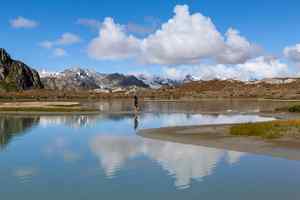
The sandbank is covered with cotton grass. We still haven't seen any people since starting the trip.
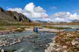
The glacial stream is rapid and very cold.
Lac des Seracs.
A bird's view.

We started descending to the Bellacomba valley. The flat terrace in the middle of the picture is Plan de la Lière which we will pass the following day.
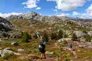
We finally reached more popular paths and met a few people in the afternoon in the Bellacomba valley (on the left). We stayed overnight opposite the purple field of fireweed at the entrance to the valley.
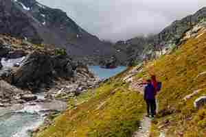
After lunch, we hid our backpacks and went to col de Tachuy. The path goes above the Bellacomba lakes. There is a rocky island in the second lake.
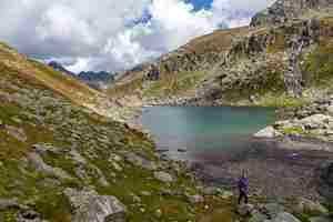
When the sun came out, the lakes turned green.
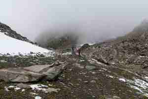
The higher we got, the more clouds and snow we saw.
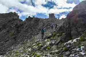
We decided to cross into France and climb up to a ridge with rocky outcrops.
The ridge was not as steep and narrow as we imagined.

We are climbing down. As soon as we descended below the clouds, we saw a multitude of interconnected lakes.
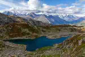
This lake is shaped like a shark. The clouds have a very flat bottom as though they are lying on a transparent flat plank.
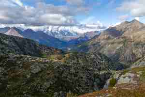
A view towards La Thuile.


