Rutor massif, 28 August - 3 September 2020
0 1 2 3 4 ← Previous Next → 5 6 7 8
Day 6. Becca Bianca.
We climbed a snow-covered glacier (with virtually no crevasses) to the ridge and then up the ridge to reach the summit. The ridge was peppered with snow, so we kept crampons on. There were no technical difficulties.
The blue line shows our track. The arrows show direction of travel. Shift-click on the track link will open it in nakarte.me.

We prepared all gear in the evening but still did not leave as early as planned. The weather was still sunny but not without clouds. Our tents are still in the shadow.
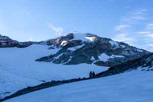
It took us half an hour to get to the glacier. One can just about make out a cairn at the pass.
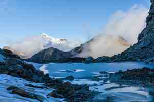
The lake under the glacier was covered with ice and peppered with fresh snow. Mont Blanc rises above the clouds.

Preparing the rope for glacier travel.
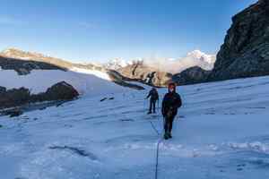
The ascent was quick, it was not steep and it wasn't too hot. The snow was sufficiently firm so that we didn't leave deep tracks.
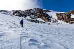
We finally got out of the shadow.
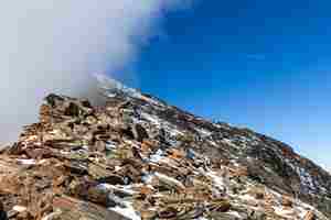
We were walking up the ridge in crampons, as the rocks were quite slippery.
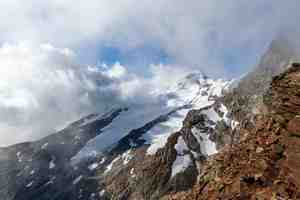
A view of the Chatêau Blanc glacier.
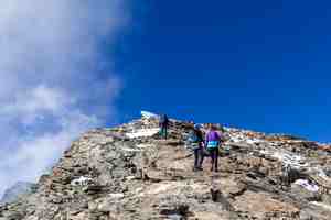
The clouds were rising from the Planaval valley, but the visibility on the other side of the ridge was very good.
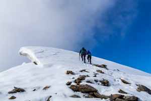
Crossing a snow field not far from the summit.
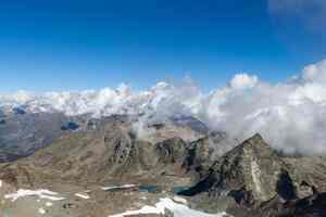
Looking back at the Usselettes lakes. The sun has finally reached our camp at one of the lakes. The lakes are all at different levels with little streams connecting them together.
A panorama view from Becca Bianca.
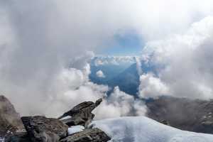
Aosta valley surrounded by clouds.
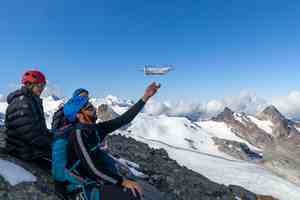
We launched our drone at the summit but forgot to record a video.
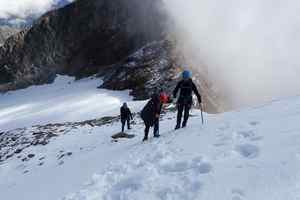
Crossing the snow field on the way back.

At the very bottom of the cliffs lies the Planaval river and our path of the first day of the trip.
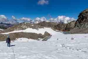
Easy descent from the glacer. We walked around two clearly visible crevasses.
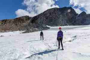
In order to avoid following our track on the way back, we descended the left part of the glacier.

The glacier is crevassed at the bottom.
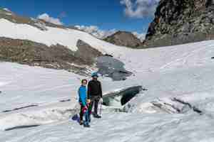
Two parallel tunnels in the glacier, just like London underground.
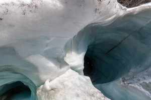
They lead directly to the glacial lake.
 |
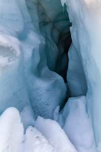 |
Yasha is exploring the entrance to the crevasse.
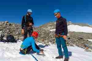
The only practical use of ice screws was...
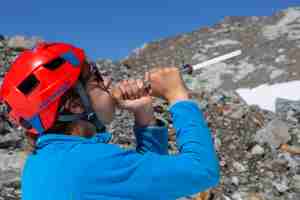
...to make ice rods.
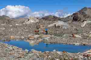
Another little terrace and another lake.
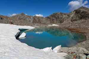
The snow field breaks as it meets the lake, making little icebergs.
A view from the drone.
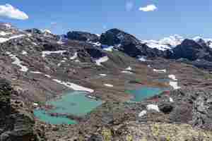
We had to leave this amazing place after lunch.

Passo Alto is on the Alta Via 2 path.
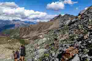
We are going down into the valley and tomorrow we will be crossing the ridge on the right.

We got to the very bottom of the valley and spent some time looking for a spot to pitch our tents. The lake which looked so good on the photographs turned out to be surrounded by wet moss. In addition, the valley was frequented by grazing cows, and one herd was about to descend from the opposite side. In the end we got back up and made a camp on a flat spot.

The Lantaney valley.


