Valais Alps, 8-18 August 2014
← Previous Next → 0 1 2 3 4 5 6 7
Day 5. Col de Cleuson - Col du Sarshlau.
This was the most interesting day. And the weather was fitting. There are no paths leading to Col de Cleuson. We did not meet any people although did see some cairns. We followed an easy glacier, partially covered by snow, then up on the large scree to a wide pass. Descend on a large scree following the fall line to Cretes Motses. Then follow the left stream (facing downstream). The right stream leads to very steep grass slopes. It would probably make a challenging descent without a path. The descent along the left stream is on large boulders. There is a real risk of stumbling, falling and breaking a leg. One should not veer left too much to avoid going above some rocky outcrops. We then climbed the path towards Col du Sarshlau. The path can be difficult to find in places. The descent from Col du Sarshlau follows a good path on very steep grassy slopes. One should take care not to slip.
The red line shows our track. The red arrow shows the direction of travel. Shift-click on the track link will open it in nakarte.me.
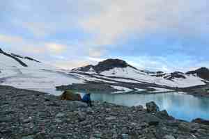
The morning was amazing. We were alone among the mountains and their reflections in the lake. We climbed up Grand Desert glacier towards Col de Cleuson.
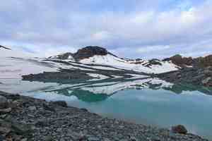
The sun came out and made the views even better.
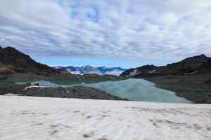
Looking back. The clouds were rising from the valley, but we easily outpaced them.
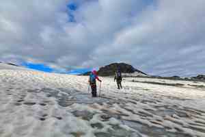
Up on the glacier.
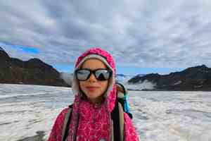
A young mountaineer.
 |
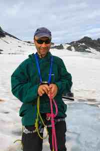 |
Getting ready to cross a wet (e.g., snow-covered) glacier. Because we carried heavy packs, we made chest harnesses (so that we won't turn upside down in case of fall). Not sure if this was a good idea.
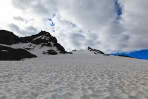
Rosablanche from the Grand Desert glacier.

Our rope team. The pass is right in front of us.

The clouds are catching up.
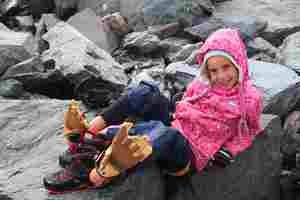
Improvised dry socks.
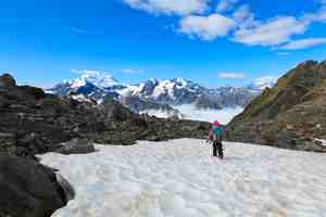
The last few steps. Victor is already on the other side.
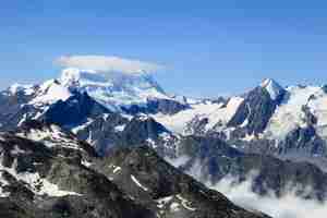
This is the tallest mountain in the area, Grand Combin (4314 m). It was crowned by a small cloud all day.
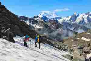
Descending. A small patch of hard snow, but we were too lazy to put on crampons. The descent to the path took three hours.
 |
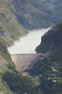 |
The view from Col du Sarshlau. The descent from the pass was rather long, 900 vertical metres. |
A magnified section of the same picture shows Mauvoisin dam, and the road going into a tunnel. The tunnel leads to the top of the dam. |
We camped in a wood near the main road. It was raining hard and we were keen to pitch the tent. It was not so easy to find a suitable spot in the wet forest. We could have gone to a campsite but this would have meant walking 1.5 km on the main road back and losing some altitude. We found mushrooms and strawberries in the forest. We decided not to pick mushrooms but Sonya collected some strawberries while we were pitching the tent and cooking the dinner.


