Valais Alps, 8-18 August 2014
← Previous Next → 0 1 2 3 4 5 6 7
Day 1. Approach.
We drove to a car park near Lac des Places de Moulin (there is a commercial parking lot, and a free one just below it; as we arrived in the afternoon, there were spare spaces in the free lot, so we left the car there). We packed our packs, left the car and started walking. The plan was to camp near Plan du Gan, but we didn't quite make it and pitched out tent by the La Garda farm. Camping near Plan du Gan would have also been good.
The red line shows our track. The red arrow shows the direction of travel. The "P" icon shows the car park. Shift-click on the track link will open it in nakarte.me.
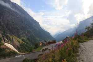
As we wasted time searching for gas cansiters, we only arrived in the evening. One can already see a patch of snow. The lake is below. All lakes here are resevoirs with dams and hydroelectric power stations.
 |
 |
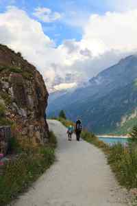
The journey starts here... |
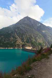
The colour of the lake is amazing, but the water is opaque, you cannot see through it. |
It soon started raining, and the rain turned into a thunderstorm as soon as we have pitched our tent. We barely managed to push our stuffed packs into the tent. The dinner cooking had to be done in the tent that evening.
Day 2. Col Collon.
The path to Col Collon has no technical difficulties. The rocky pitch above Plan du Gan is protected with steel cables and some stairs. The other side of the Col is an easy glacier, mostly covered by snow. Once on the Haut Glacier d'Arolla, one should keep right (if facing downstream). The path on the glacier is unmarked. At the end of the glacier, one should move to the morraine on the right. This could be non-trivial, but we did not have any problems. There are then two paths into the La Borgne d'Arolla valley. One path (officially recommended, even though it involves extra altitude gain) goes up towards Plans de Bertol. We went on the lower path. It is more interesting, it starts with a short ledge protected by a cable, there is a small ladder. The old markings are still visible but the paint is fading. In a few years time finding the lower path may become challenging, and the cables and the ladder are likely to become unusable.
The red line shows our track. The red line shows the direction of travel. Shift-click on the track link will open it in nakarte.me.
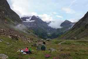
It rained all night, but the weather improved in the morning. This is a view of the valley we came from yesterday. We are having breakfast.
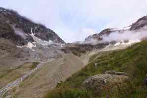
Climbing on the rock ledges above Plan du Gan.
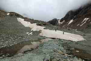
Snow fields just below the pass.
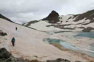
Col Collon (3069 m) is just behind the corner. The snow is wet and soft.
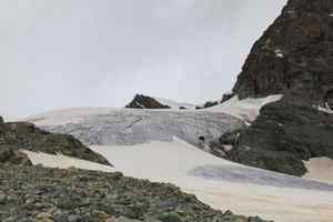
Descending into Switzerland. Col Collon is on the left.

The glacier was at first covered by snow, so we roped up. There were large pools of water on the boundary between snow and open ice.
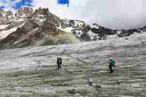
Haut Glacier d'Arolla is almost flat, there is no snow. We did not put on the crampons, it was not slippery at all.
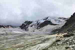
The glacier is peppered by stones. We heard an icefall on the steep glacier at the back.
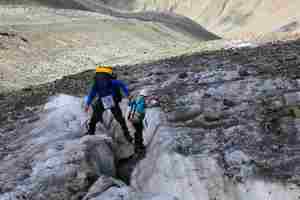
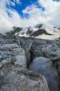
The boulder stuck in the crevasse is used as a bridge.
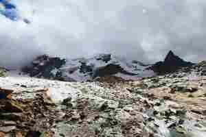
Fast flowing streams in the glacier are not alway easy to cross.
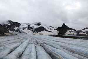
Parallel lines... Has someone raked this glacier?
 |
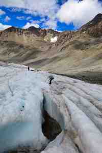 |
Amazingly, we only saw one person on the Swiss side.
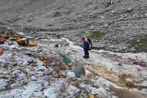
The end of the glacier. We are crossing onto the morraine which could be not so straightforward.
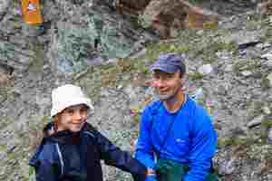
The lower path to Arolla is above the river with a hydroelectric power station. Many signs warn that the river can be flooded very quickly.
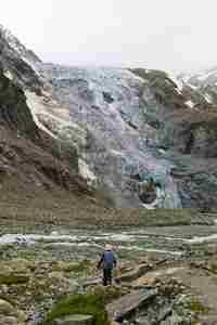
Another glacier with freshly fallen blue chunks of ice. In the valley the path becomes a long road to Arolla. We stayed in the campsite on the other side of the village.


