Valais Alps, 8-18 August 2014
← Previous Next → 0 1 2 3 4 5 6 7
Day 3. Pas de Chevres.
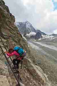
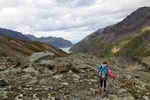
The path to the pass goes through the village. There are many paths and roads, it is difficult to find the shortest way. We even used our GPS (this was the only time we used it). The path is wide and there are no difficulties. Quite touristy, but most people turn back at Pas de Chevres. There used to be just two ladders on the other side of Pas de Chevres (combined height 20 m), but in July this year (just a month before our visit) the path was upgraded with several platforms and short ladders. So there is no need for belay any more. We did use the rope - just because we were carrying it anyway. After the ladders, the path turns right on a rock ledge towards Col de Riedmatten. We decided to go straight down (following a trip report found on the internet). This was a mistake - we spent quite some time going down a steep and unstable scree. The path across Glacier de Cheilon is marked. We went round Tete Noire, but it would have been easier not to climb up but to go down onto the western morraine of the glacier, there is a path there.
The red line shows our track. The red line shows the direction of travel. Shift-click on the track link will open it in nakarte.me.

A picturesque hotel in Arolla, typical Alpine style, all covered in flowers. This is a ski village in winter.
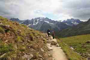
A path to Pas de Chevres (a pass for goats). Actually, goats will find it difficult to climb down the ladders on the rocks on the other side. This was the only day when we felt hot and sweaty climbing up.
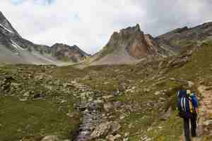
The path on the left leads to Pas de Chevres (2855 m), the path on the right is for Col de Riedmatten (2919 m). The latter is a bit higher but does not have a drop on the other side.

Pas de Chevres. Waiting for Victor to build a belay station.
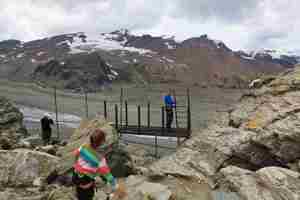
Belay.
 |
 |
Sonya is belayed. |
No belay needed for Victor. |
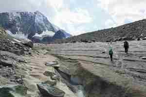
Glacier Cheilon. Several morraines split it into smaller glaciers.

Ice bulges under each boulder look like mushrooms.
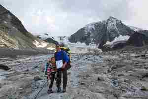
Mont Blanc de Cheilon in the background. The weather was really nice, dry, and not too hot.
 |
 |
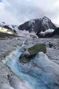
A stream running through the glacier. We crossed it on a boulder which got stuck in the stream. |
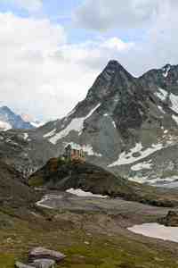
Cabane de Dix. The refuges are often built on top of hills or rock formations. From a distance they look like fortresses or toy houses, or both. |
We pitched our tents just above Lac de Dix, not far from hydroelectric power station. We were planning to camp further on on the lakeside, but we were put off by the sight of cows and farm houses. This was the right decision: next day we came across a sign prohibiting wild camping on the lakeside. The evening was amazing, warm and quiet.


