Bernese Alps (Switzerland), 20-28 August 2017
← Previous Next → 0 1 2 3 4 5 6 7 8
Day 4. Lake Oberhoresee - Tschingelgletscher - Tschingelpass - Petersgrat pass - lake Blauseeli.
The approach to the Tschingelgletscher glacier from the Oberhoresee lake is ambiguous. We saw a guided group walking towards the bottom of the glacier. Out path (marked with cairns) came to the glacier further up. Both paths are OK. We then went around Mutthorn via Tschingelpass. It would have been faster to go via the Mutthornhütte refuge instead, but we wanted to explore a less popular route. Tschingelpass is approached via an easy glacier, first dry and then wet (i.e., snow-covered). The crevasses start at the pass but they are easy to navigate around. We then climbed up towards the Petersgrat pass. This pass is normally climbed via the Mutthornhütte refuge and then up the snow-covered glacier with very few crevasses. We climbed straight up. There were some crevasses, not all were easy to spot (we found some crevasses by probing with an ice axe). The snow cover was thin, and snow bridges were weak. However it was easy to find a way around the crevasses. We got to the Petersgrat pass quite late. We wasted some time in the morning adjusting the crampons (this was our first glacier), and then our progress on the glacier was slow and tiring. The descent from the pass was simple, there were few crevasses which were clearly visible and easy to walk around, but one of them was a nasty surprise (see below).
The red line shows our track. The arrow shows direction of travel. Shift-click on the track link will open it in nakarte.me.
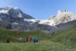
We packed our bags and were ready to go. The path went along the green ridge on the left. The summits from left to right are Breithorn, then Tschingelhorn and lastly Wätterhorn (hover the mouse over the image to see the annotations).
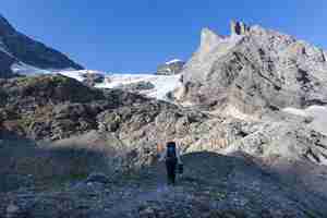
At last we got out into the sunshine.
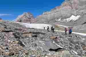
We followed a moraine above the Tschingelgletscher glacier.
The moraine on the other side of the glacier is eroded by the water streams. The far mountain underneath an oval-shaped cloud is Jungfrau.
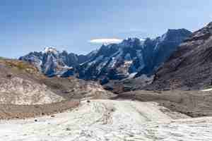
We are on the glacier!
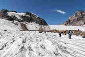
A huge river of rocks is flowing down from Mutthorn. Our pass is clearly seen ahead.
 |
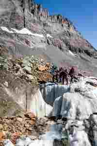 |
Exploring the ice formations on the glacier.

Looking back.

Once the glacier got covered with snow, we roped up. The Tschingelpass (2773 м) is straight ahead.
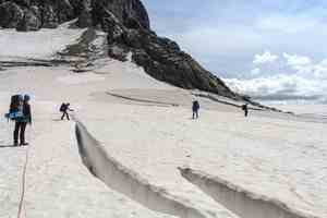
We are on the pass! First crevasses are all visible and easy to walk around.
The Gamchilücke pass in the centre of the image is steep; there is danger of rockfall. There are cables on both sides to help climbing.
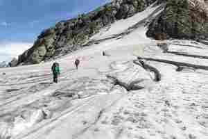
Our pass is wide and flat, it is difficult to see where the highest point is.
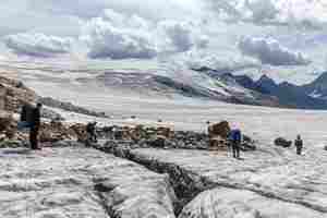
We are entering the world of ice. The ice mountain on the left is Petersgrat, this is where we are heading.
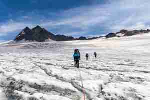
We climbed up the concave zone of the glacier and turned right towards the pass. Hover the mouse over the image to display the red line which shows the direction of our ascent.
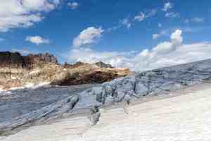
We are passing by a zone of crevasses...

There were some hard-to-spot crevasses on the snow-covered glacier which we carefully avoided. The ascent was long and slow and everybody got tired.
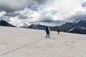
The pass at last! We were all annoyed by the huge number of helicopters which kept circling the glacier, flying above the pass, even landing on the glacer. These must have been expensive glacier tours for the rich...
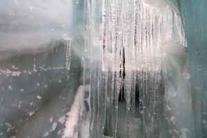
Oops! Igor (the last person in the rope team) stepped on a weak part of the snow bridge and fell into a crevasse. In the middle of the rope team was a child who could not effectively arrest the fall. So arresting the fall was largely the job of the first member of the rope team - but the snow around the crevasse was very dense and hard, it was hard to self-arrest - hence Igor fell some 5-6 m. His fall was almost stopped and he got slowly lowered on a patch of snow blocking the crevasse.
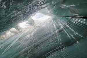
A view from the ground floor. The crevasse was amazing, with blue ice and long icicles.
Pulling Igor out. Unfortunately, we somehow failed to build a bomb-proof anchor despite knowing full well how to do it properly. The take home message is to always swich on your brain in an extreme situations!
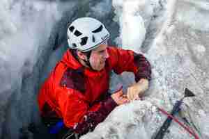
The gloves would have come handy here...
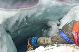
Good bye, crevasse!
The sun came out, we cheered up and quickly went down the glacier. The following descent was easy. We traversed to the crevasse-free zone on the left and walked down to the bottom of the glacer. The descent is marked with rock cairns. The coloured rocks here reminded us of the Dolomites.
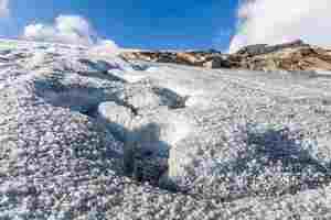
A snake-like stream flowing down the glacier.
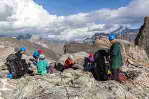
Packing the ropes. We need to go down, to the lake! The path is marked with cairns, but we have to leave it to descend directly to the Blauseeli lake.
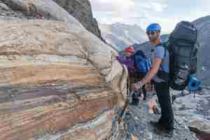
We are climbing down the rocks which used to be covered by the glacier. Some patches were quite steep, but the views were breathtaking. We slowly recovered from the shock of the incident on the glacier.


