Ordesa-Perdido (Pyrenees) 2025
← Previous Next → 0 1 2 3 4 5 6 7
Day Five. Monte Perdido.
To get from the Pineta sector (our campsite) to the Ordesa sector (where Mount Perdido, the Breche de Roland pass, and the Ordesa Canyon are located), we had to climb the rocky wall that leads to the Perdido Glacier. The start of the ascent can be tricky to find, look for footprints and cairns marking the way. You don't really need a rope for the climb, though we used it for the descent. After that, you can continue either over the snow (there may be glacier underneath, but there are no crevasses) or along the rocks, both routes are easy enough. Then the path leads up a fairly steep scree slope. After crossing the pass, you need to descend to the Ibón Helado lake. To do that, follow a wide ledge to the right, then descend a short rocky section, no rope needed. Here is a good description of this route. After that, the climb to the summit of Perdido follows a well-marked path with no technical difficulties. To make the descent less boring, we practised glissading down a snowfield. Later we also climbed Peña Roya, while Yasha and Lova ran up Cilindro de Marboré, which involves several short rocky sections. They used a rope there. Here is a description of that climb.
The red line shows our track. Shift-click the track link to open it in nakarte.me. The blue line shows Yasha and Lova's climb of Cilindro de Marboré.

We got up fairly early, ready for a long day. Today's plan was to climb Monte Perdido.

From our campsite we descended into the valley, crossed the moraine, and reached the base of the rocky wall below the glacier.
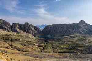
Looking back: our pass from France, the lake, and the moraine.
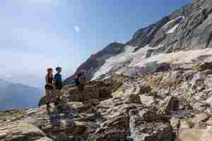
And how exactly do you climb these cliffs? Everyone takes the same route, it is only about ten meters up, and you are on the next ledge, level with the snowfield.
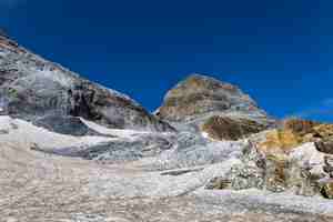
The rock here is a light grey colour. Sometimes it's hard to tell where the snow ends and the rock begins.

This time we went up over the snowfield, though it's also possible to scramble over the rocks on the right. We put on microspikes or crampons, but we could have managed without them. Ahead of us is Cilindro de Marboré. After the snowfield came a steep and rather unpleasant scree slope leading up to the pass.

Descending from the pass towards Ibón Helado. In the distance you can see the famous Ordesa Canyon, and to the right, Mount Tobacor, we nicknamed it "The Pancake".
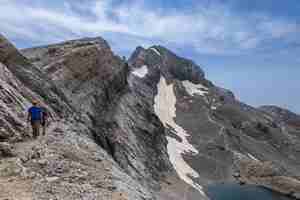
We descended from the pass to a ledge running along the ridge.
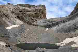
Looking back at the pass. On the right, you can see people descending to the ledge. On the left, near the "shark jaw" rock, there is a short descent from the ledge to the scree slope. From there, a good path leads to the lake across a small snow patch. From the lake, the climb to Perdido begins.
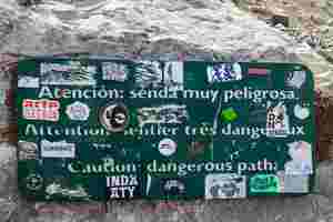
The place was absolutely packed with people. There's even a warning sign saying the path is "very dangerous" :)
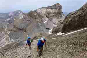
Still quite a way to go up.
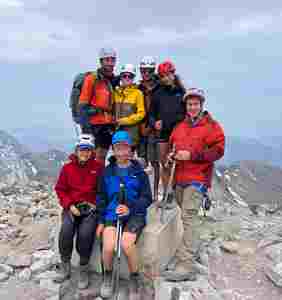
At the summit.
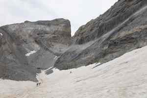
We climbed up the rocky ridge but descended via the snowfield.
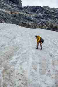 |
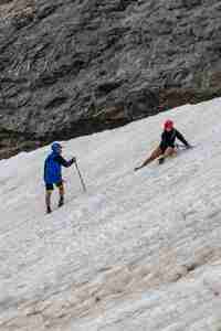 |
Practising our glissading technique on the descent.

A well-earned lunch by the lake.
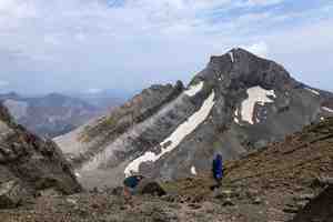
After lunch, Yasha and Lova went up Cilindro de Marboré, while we hiked up to Peña Roya. In the background you can see Monte Perdido.
Tomorrow we'll be hiking across these colourful rocks.
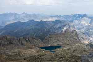
From the summit of Cilindro de Marboré, you can see our lake, the Breche de Tuquerouye pass, and everything around.
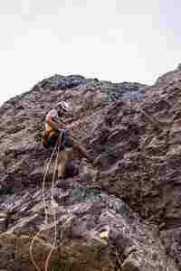
Descending from Cilindro de Marboré.
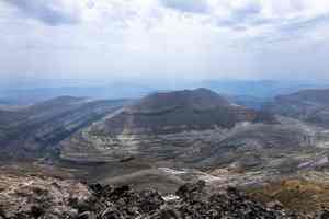
The Ordesa Canyon.
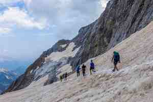
Heading back.
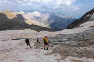
The Perdido Glacier... or what little remains of it.


