Ordesa-Perdido (Pyrenees) 2025
← Previous Next → 0 1 2 3 4 5 6 7
Day Three. Cresta de la Munia.
We left our backpacks at Col de la Munia and climbed the Munia ridge to Petite Munia. We could have easily walked up the next summit (Pic de Serre de Mouréne), but we didn't have much time. This is a great popular ridge, with some relatively easy scrambling sections. It is all climbable without a rope (if you don't have heavy backpacks), but there were a couple of harder short pitches (we had a rope with us just in case, but we didn't use it). On the descent from Col de la Munia there were several sections with steep scree and one rocky area. On that latter section we set up a rappel. It would have been possible to climb down without a rope if we didn't have heavy backpacks, and a rope would not have been needed for travelling in the opposite direction. Here is a description of this section and the hike along the Munia ridge. On the French side, it was hard to find a good camping spot. There was little water and lots of livestock. We camped at arguably the most suitable place, but in the evening and morning a herd of cows passed not far from the camp.
The red line shows our track. Shift-click the track link to open it in nakarte.me.

In the morning we packed our backpacks and headed for the Col de la Munia pass.
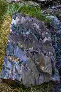
A tooth-shaped rock.

This is Robiñera, we climbed it yesterday.
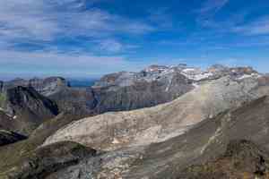
And here is the white mountain as seen from above.
 |
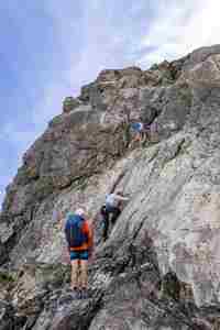 |
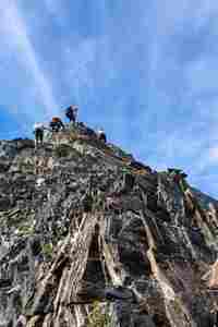
We left our backpacks at the pass and scrambled up the Munia ridge. One section had a fixed chain.
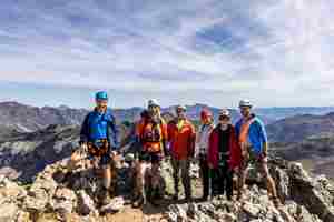
At the last summit (Petite Munia). The picture was taken by an elderly Frenchman who was collecting the 100 highest peaks of Spain.

Col de la Munia Pass: we ascended from the left and descended to the right. The distant peaks in the centre of the picture are Monte Perdido and Cilindro de Marboré, the two highest mountains in this area.

We're heading down. The ridge on the right is Cresta de la Munia which we have just climbed down from.
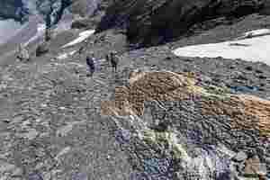
Descending further. The rock on the right is all crumpled.

When we first saw this yellowish field, we were not sure if this was snow or white rock. It turned out to be both. Here a white marble vein comes to the surface.
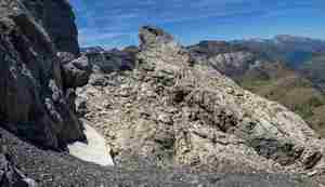
A fin-shaped rock.
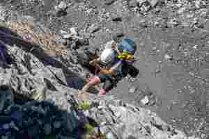
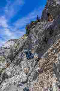
We rappelled down the marble rock. It was only about 10 meters long, but there was no other way down.
 |
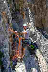 |
Lova is on the belay station.
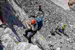
We knew from the previous trip reports that there would be a short technical pitch. We went down quite quickly.
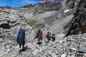
Then there was a steep scree slope in a narrow gorge, but we no longer needed the rope.
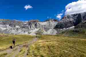
We got down to the valley. In France, cows and sheep graze everywhere. In Spain, we didn't see any domestic animals in the mountains.

We passed the parking lot, and started gaining elevation again. We found a nice camping spot. There was a stream below which we took water from, but we couldn't camp there as there were lots of grazing cows. This was the only decent source of water, all other streams had dried up over the summer. Later in the evening, a large herd of cows passed by our camp. Cows in France are very peaceful creatures; they did not bother us at all.


