Ordesa-Perdido (Pyrenees) 2025
← Previous Next → 0 1 2 3 4 5 6 7
Members of our team

This time our group was smaller than last year: our extended family plus Igor.
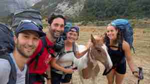
The younger generation: Lova, Yasha, Magda, and Sonya. And the foal!
 |
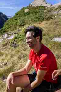 |
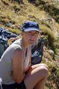
Magda and Yasha.
 |
 |
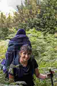
Masha and Vitya.
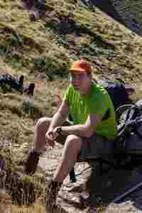 |
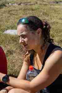 |
Igor and Sonya.
Day One: Arrival.
The day turned out to be long and hectic. Everyone arrived the previous evening, but Lova's backpack got lost. The next morning, one group went back to the airport to retrieve the missing luggage, while the other went shopping for gas and food for the hike. Eventually, we all gathered at the Pradera de Pineta parking lot, changed clothes, repacked, and set out on the trail around 7pm. The parking is not free, but there was no one to collect the payment in the evening, so we paid when we got back to the cars on the last day. There's plenty of parking space, and everything is well organized. Before dark we managed to climb about 600 meters and found a secluded spot by a small stream to pitch our tents. That was lucky, because there aren't many good places to camp, and it would have been hard to find one in the dark. Descending to the stream without a path in the dark would've been unpleasant too.
The blue and red lines show our track for the first and second days. Shift-click a track link to open it in nakarte.me.
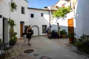
We spent the night in a very old house in a small village, Pacs del Penedes, about 40 minutes from Barcelona Airport. As usual, everyone flew in from different countries, but by night everyone had gathered in one place.

You can hide from the scorching sun in the shade of the trees.
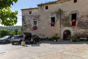
This is the main entrance to the house, the second floor is rented out. Yasha spent a long time "hunting" the animal that didn't want to come out from under the car.
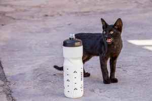
And here's the animal...
Day Two: Munia Lakes and Robiñera Peak.
We left our camp and found a good path to the Munia lakes. We didn't see anybody on the path but there were many people at the lakes. We pitched our tents higher up, hidden behind a small hill, and didn't see anyone. We then climbed Robiñera Peak via the western slope (here is the only description we found). The ascent is quite steep, and the rocks are very loose. There's danger of rockfall, but it is a beautiful hike. The descent is easy.
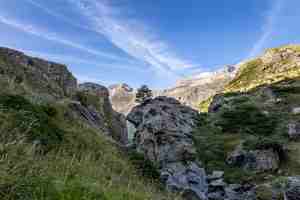
A lone pine grows on the rock. Mountains all around, and not a single person in sight.
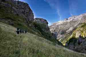
We traverse through tall grass to find a good path.
Monte Perdido (on the left) is the highest mountain in the region. We climbed it later.

We followed the valley, crossed a small ridge, and reached the two Munia lakes.

The rocks here are amazing.
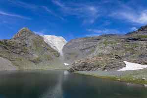
We stopped for lunch by the second lake where we met the first person of the day. In the distance, a white mountain stands out against the dark rock formations.

We camped for the night in a secluded little valley behind this snow patch.
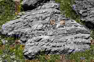
This rock looks like crocodile skin.
In the afternoon we went on a day hike to Robiñera Peak. The two Munia lakes are below with Mount Perdido at the back.

A short break in the shade of a rock.
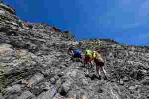
And then up again. The rocks on this slope are very unstable, everything moves under your feet.

A vein of hard rock runs along the left side. It evaded erosion by wind and water.

On the summit.
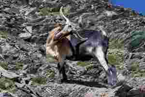
On our way back we came across a herd of goats. They were nibbling on grass and tinkling their bells.
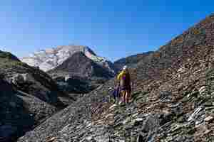
On the way back to our camp. The white cliff looks as if it has been polished by a glacier.
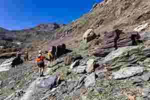
We walked past some amazing rocks: purple, green, striped...
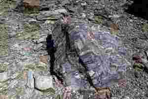
Colourful layers...
 |
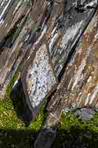 |
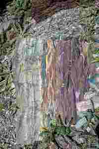
An iridescent rock and a gray rhombus.

After dinner, we sang songs at the foot of the Robiñera peak, which we climbed just a few hours ago.


