Skuleskogen 25-28 August 2023
1 ← Previous Next → 2 3
We rented a car and drove towards Stockholm stopping at several intermediate destinations. The weather was great except the last day. We got to Skuleskogen national park in 3.5 hours. This part of Sweden used to be glaciated but the glacier melted some 10000 years ago. Its weight drove the rocks underground and now they are coming back up, quite slowly, around 8 mm each year. This place was declared a national park. The highest point in the park is about 280 m but it rises straight from the sea.
The red, blue and black lines show our track on the 25, 26 and 27 August, respectively. Shift-click on the track link will open it in nakarte.me.
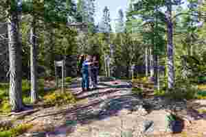
The paths here are really well marked. We planned to stay overnight by the sea but this was some 4 hours away.

Rocks are alternating with lakes and bogs.
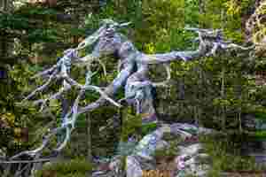
A wooden sculpture: an elephant or a dragon.
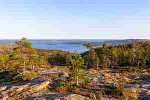
We crossed several valleys and unexpectedly got to the top. The views were amazing.
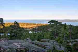
Below is another lake, this time surrounded by rocks. It looks like we almost got to the sea level but it is still quite far away.
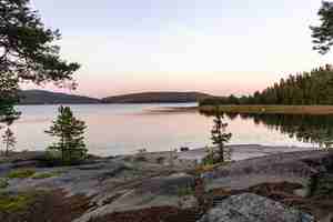
The bothy at the seaside was occupied, and we pitched a tent nearby, by a fireplace. One can only make fires here in designated places.
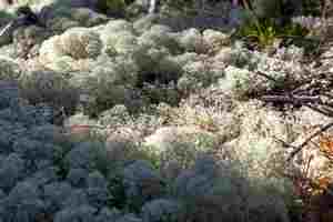
We went to explore the surroundings in the morning. We got to the very end of the cape. The sea shore resembles Ladoga lake. There was a lot of reindeer moss.
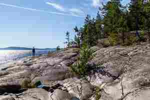
There were many big and small islands in the sea.
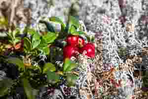
Lots of berries: lingonberries, different types of blueberries.
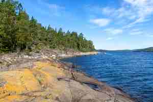
Some rocks by the sea were covered with bright lichen.
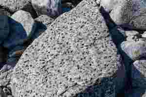
Have these rocks been dented by hail?
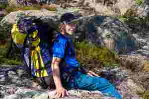
A welcome break.
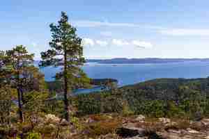
Earlier we went to the very end of this cape.
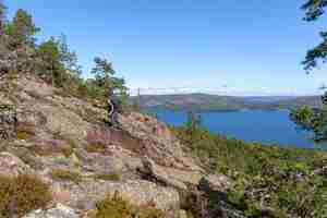
Pink granite.
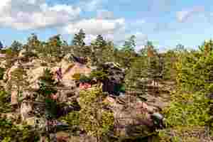
Moving on the rocks was faster than walking through the wood.
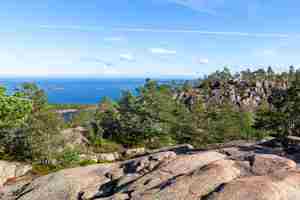
Sometimes we had to walk around the ravines if we couldn't get down.
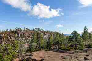
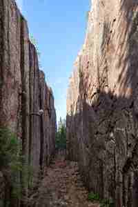
The famous rock fault, Slåttdalskrevan, is 40 m deep and 200 m long.
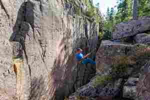
We wanted to practice rope work and rapelled into the ravine.
 |
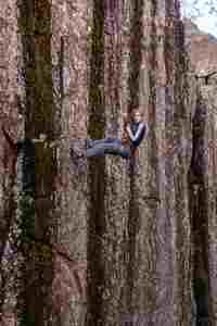 |
At the bottom there is even a little overhand. The walls are only 8 m apart.
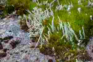
Green lichen from the Cladonia family.
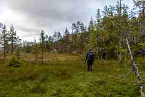
Another bog between rocky hills.
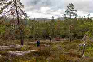
Descent to a lake where we planned to stay overnight.
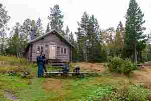
There was only one inhabitant in the bothy, a girl from Germany. The bothy was very clean and tidy. There is a log burner, a table, two small rooms with bunkbeds and a living room. There is a fireplace and lots of firewood nearby.
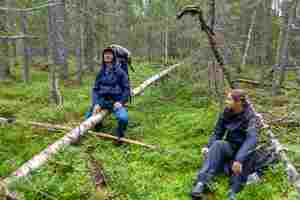
This was our last day in Skuleskogen. We followed an old unmarked path. Sometimes we had to just take a bearing, the wood was surprisingly walkable.

We drove along E4 road further south. These are old warehouses in Hudiksvall. Some were converted into boutique shops.
The blue, red and black lines show our track on the Hölick cape, and in Blacksas on the 27 and 28 August, respectively. Shift-click on the track link will open it in nakarte.me.
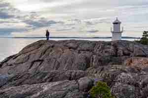
We stopped at the Hölick cape to look at the lighthouse and the seaside.
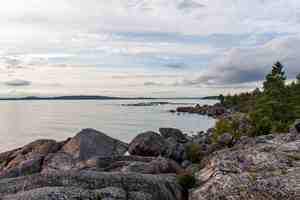
It was very still, no wind, no waves, and very few people.
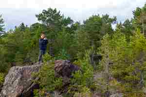
Taking a picture.
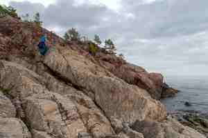
Beaches are alternating with rocks. We did not go swimming as it was time to move on.
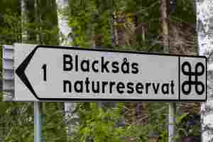
A sign to the Blacksås nature park.
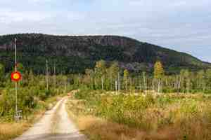
We left our car at the bottom of the hill and in less than an hour were at the top.
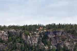
There were two shelters near the top, an old one and a new one. We chose a new shelter even though it was still being built. We used a fireplace by the old shelter.
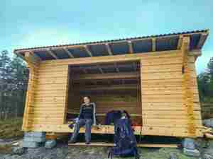
There are only three walls with a roof and benches for sleeping.
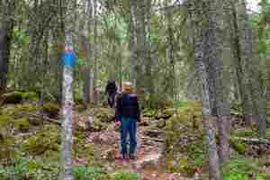
Descent.
It took us three hours to get to Uppsala where it rained non-stop all day. Pictures from Uppsala are on the next page.
1 ← Previous Next → 2 3


