Vikos Gorge (Northern Greece), 11-15 August 2017
Day 1
After grabbing a quick breakfast in Monodendri, we set off on our way. The bus took longer than we expected, so we decided to not visit the viewpoint north-east of Monodendri, but instead to descend directly into the gorge. Unfortunately for us, the signs for "Vikos Gorge" in fact take you to the viewpoint.
 |
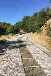 |
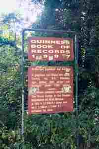
On the paved road to the viewpoint, a sign declares that Vikos is the worlds deepest canyon.
After returning to the village and taking the correct path, we descended steeply to the bottom of the gorge. The path is well signed with red/white markers, and once along the river bed (which for us was dry), the path undulates for 12km along the gorge. There is one spring about a third of the way along (marked above), which was running even in August. Along the whole length, woodland covers the path, making the heat bearable.
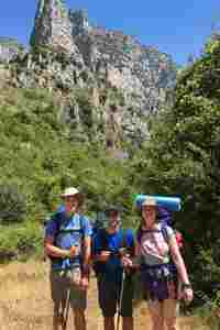
Us still looking fairly fresh on the first day.
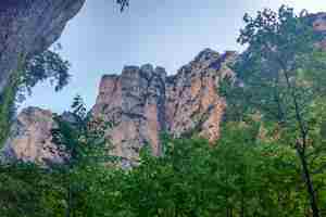
The cliffs are spectacular and impressively tall.
The cliffs flatten out as you approach the turn off for Vikos (we didn't go, but heard the views are good). At the point where a path splits off towards Papigo, the main path goes out onto the riverbed. We followed the riverbed until we reached the Voidomatis spring, which is beautiful. You can start climbing up towards Vikos and then drop down to the spring, but this is further and involves an extra ascent.
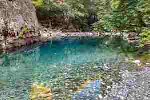
The beautiful colours of the Voidomatis spring make for a fine reward at the end of a long day, the water is ice cold, but in the heat, a swim is irresistible. The walk from Monodendri to the spring took us around 7 hours, note that this includes breaks and we were walking with large packs.
After eventually forcing ourselves to leave the spring, we headed back to the junction and headed up towards Papigo.
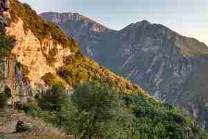
Turning the corner, the gorge went out of view.
We planned on camping near the stream crossing (just below Papigo), there were a few ledges where you could camp just before the path junction, but we chose to camp just upstream from the path crossing. The map above shows our camping spot as well as the potential ledges. The stream was barely running, but we found a small drop where we could fill up bottles etc. As we were going to bed, we heard grunting, a boar was sniffing out tent, but it lost interest, so we had no issues.
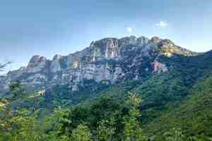
The so called "Towers of Papigo", despite leaving the gorge, the size of the cliffs didn't decrease.


