Graian Alps (Italy-France), 5-14 August 2016
← Previous Next → 0 1 2 3 4 5 6 7
Day four. Col de l'Autaret – A loop around Glacier de derriere le Clapier.
We could not keep up with the plan (we planned to cross Col de l'Autaret the previous day), therefore we had to shorted the loop. The ascent to Col de l'Autaret is very well marked and is straightforward. The path goes up and down, but a shorter path would not be any faster. The descent from the pass is not that straightforward - the path veers north to avoid a steep scree, and then continues further north than shown on a map. We should have left the path but somehow continued too far. We have not lost much time, anyway. The ascent to Glacier de derriere le Clapier is straightoforward by following the moraine. There is steep climb in the middle of the glacier but it does not require a rope. All crevasses can be bypassed by veering north-west. The glacier here is covered with boulders. The ascent towards Col de l'Arcelle ou des Alpins is clearly seen from the glacier. We did not go to the Col, as we did not have time to continue towards Pointe de'l Arcelle, anyway. This was not enough for Yasha, and he went for a run in the evening, conquering Pointe Costans and climbing over 500 m in 45 min.
The red line shows our track. The black dashed line shows the track of Yasha's run. The arrow shows direction of travel. The tent icon shows our camping spot. Shift-click on the track link will open it in nakarte.me.
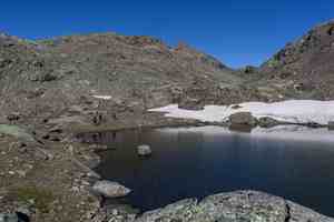
The path from our camp went on the other side of the lake and then up on the ridge.
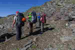
The path on the ridge to Col de l'Autaret was quite wide. This was a medieval horse track visible even today.
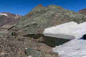
The second lake of Autaret. The military barrack by the lakeside was built during World War II.
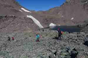
The third lake of Autaret, just under the pass. Move the mouse over the image to see annotations.
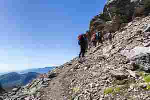
Mountain ridges rising one above the other, like a painted picture.
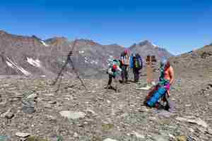
Col de l'Autaret. Sonya crossed from Italy to France 51 times.
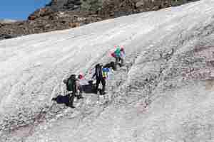
The main path avoids the snowfield by vering right. We somehow decided to cross the snowfield. It is quite steep, and the snow in the morning was hard. We were too lazy to put on crampons for a short steep part, and instead cut steps with iceaxes.
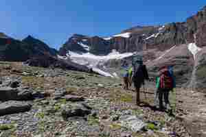
The path from the pass goes down into the valley and towards Refuge Averole. We wanted to visit Glacier de derriere le Clapier first. We should have left the path much earlier.
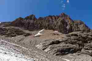
We found a very nice camping spot. We left our stuff under a large rock and without backpacks went to explore the glacier. The glacier is surrounded by steep walls.
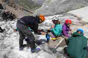
Putting crampons on.
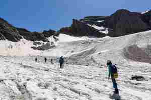
At first, the glacier was flat. There were lots of little streams on the glacier in the afternoon...
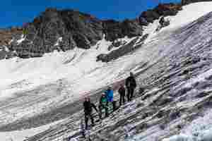
The steep part, passable in crampons.
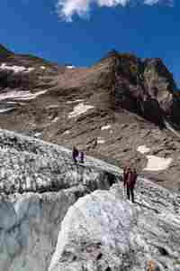 |
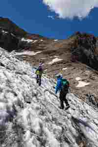 |
Navigating through a maze of crevasses. Col des Alpines is ahead but we decided not to go up any further.
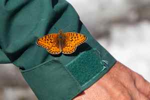
A butterfly is sunbathing on Victor's warm jacket.
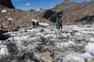
We got to the top part of the glacier and went back.

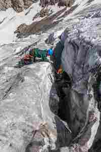
We had some time before the sunset, and practiced lowering Yasha into a crevasse. The girls were playing with an ice screw.

Girls are making little icicles.

Exploring the surroundings.
 |
 |
The crevasse was deep but narrow so Yasha did not go far down.
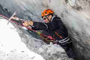
He enjoyed the experience nevertheless.
When we returned to the camp and started pitching the tents, Yasha decided to go for a run, back up to Col de l'Autaret, and further up to Pointe Costans. This is a panorama from the summit. One can see our yesterday's pass, yesterday's camping spot and even the shadow of the Pointe Constans in the middle.

Dinner time! The table was decorated by the girls.
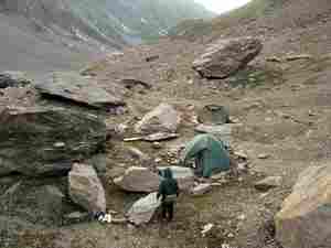
Our campsite was surrounded by huge boulders. The girls built a little stone wall around our "kitchen".

The tired girls after dinner.


