Graian Alps (Italy-France), 5-14 August 2016
← Previous Next → 0 1 2 3 4 5 6 7
Day one. In the mountains!
We landed in Turin in the morning (Igor and Anya flew in the previous day and bought the gas canisters which was very helpful), rented two cars, drove to Plain de Mussa (1800м), had a last civilised lunch in a local trattoria, left the cars for the whole week a bit further up the road (the parking is 3 Euro a day and should be paid with coins at a roadside parking meter) and started our trip at around 3 pm. We went quite high up and camped not far from Rifugio Gastaldi. There were no good camping spots on the path: no water (the springs were dry) and no flat spots. There is a lake to the south of the refuge but we did not want to go any further in the furst day.
The red line shows our track. The arrow shows direction of travel. The "P" icon shows parking lot, and the tent icon shows our camping spot. Shift-click on the track link will open it in nakarte.me.
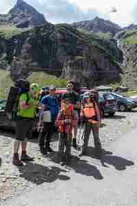
We are ready to start.
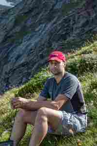 |
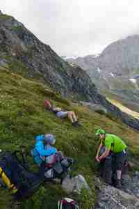 |
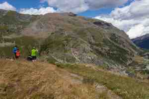
We climbed over 800 meters in the first day.
A rainbow down in the valley.
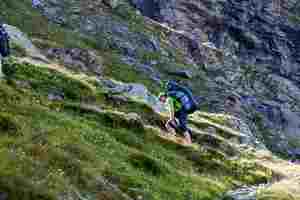
Igor is carrying his heavy load.
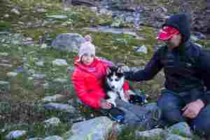
It took us a while to find a decent camping spot. We pitched out tents just below the path which leads to Gastaldi refuge. We had an unexpected guest: a husky pup. He was very sweet, he explored our camp obviously looking for food and felt quite at home with us. Eventually a man and a boy appeared on the path and took their dog away.
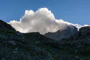
In the evening, the wind picked up quite a bit, and it turned cold. Our tents coped well with the wind.
The valley where we left our car...
Day two. Col d'Arnès – Glacier d'Arnès – Col d'Arberon.
The paths near the refuge were quite busy, but as soon as we turned towards Col d'Arnès, all people disappeared. The ascent was not steep but we were moving slowly on large boulders. The path is well marked. The descent on the glacer goes through a fairly steep scree. The glacier was virtually snow-free. The path on the French side is not marked quite as well. From we bottom of the glacier, we traversed the morraines (walking rather slowly) and climbed up to the Lac d'Arberon lake. After the lake, we followed a marked path to Col d'Arberon. The ascent is straightforward. The descent is also simple: one has to veer east just below the pass and then follow the stream. The path is easily lost as it is not marked well. This place is not frequented by people: we did not see a soul from Glacier d'Arnès until Col de Valette on the next day.
The red line shows our path. The arrow shows direction of travel. The "P" icon shows our camping spot. Shift-click on the track link will open it in nakarte.me.
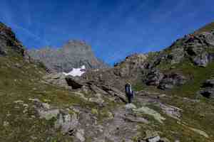
The wind subsided overnight, and we woke up to blue sky and bright sunlight. The mountain in the middle of the photo is la Bessanese (move the mouse over the image to see annotations). We climbed up onto the path and in 15 min were at the refuge.
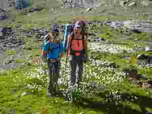
Anya and Sonya in cottongrass.
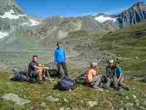
A rest break.
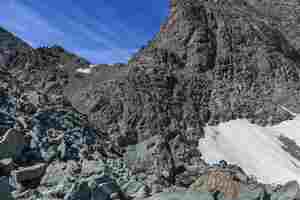
We are in the world of rocks. Col'd Arnès is within reach. But to the right we saw...
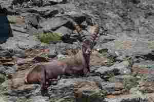
...a heard of ibex.
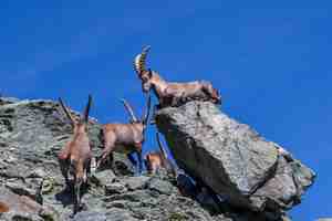
Ibex allowed us to take a few pictures and only started moving when we got pretty close.
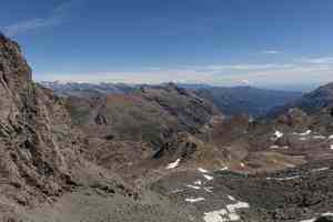
Col'd Arnès (3012 m), our first pass. The last view of Italy, we are about to descend to a French side.
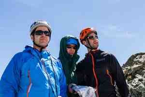
Practical orienteering.
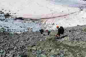
The descent from Col'd Arnès towards the glacier is via a fairly steep scree...
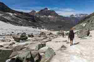
The glacier was snow-free and flat. We used neither rope nor crampons. Move the mouse over the image to see annotations.
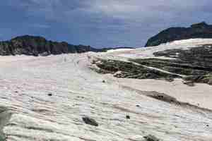
A frozen river of ice.
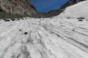
This is the pass we have just descended from. Move the mouse over the image to see annotations.
 |
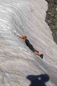 |
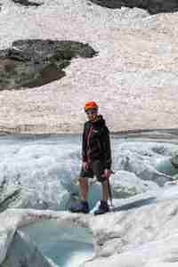
Snow bridges on the glacier... |
...and steep walls. |
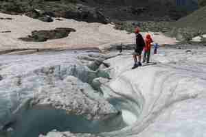
This was our first glacier of the season, so we put down the backpacks, put on the crampons and went to explore the ice monuments. The river on the glacier...
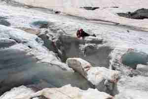
...and deep crevasses.
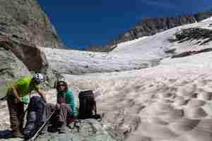
The bottom of the glacier. The snow field looks like a sand desert.
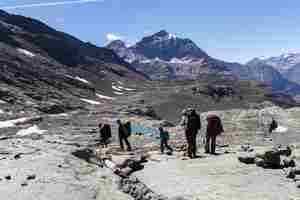
We need to cross into the next valley.
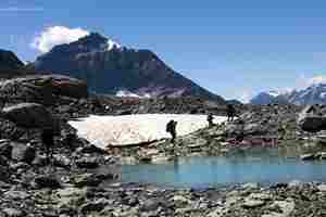
The glacier left its mark on the landscape. We are crossing glacier lakes, snow fields, sheepbacks.
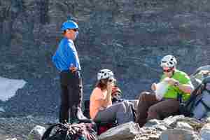
No food left?
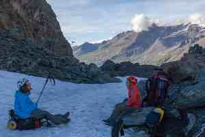
Col d'Arberon (3022 m). The valley ahead is still sunlit.
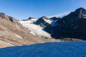
Glacier du Baounet seen from the pass.
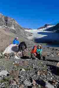
We decided not to go up this evening but to camp at a nice spot at the bottom of the glacier. The girs are finishing the crisps they kept from the flight into Italy.


