Folgefonna glacier (Norway), 1-9 August 2015
← Previous Next → 0 1 2 3 4 5 6
Day four. Bondhusvatnet lake.
The blue line shows our track. The arrow shows direction of travel. The tent icon shows our camping spot. Shift-click on the track link will open it in nakarte.me.
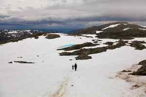
No more good weather. We packed our backpacks and went down the snow fields. The colour of the little lake on top of the snow field is amazing. There should have been no snow at this time of year at this altitude.
One can see a little blue lake on the other side of the valley. There is another lake below which is not visible in this picture. The snow-covered couloir which ends at a saddle in the ridge at the back is Pyttaskardet. We originally planned to climb up this couloir and camp above it. The couloir looks very steep but it is probably within our capabilities. However we did not expect so much snow at the top, and the couloir itself should not have been so packed with snow.
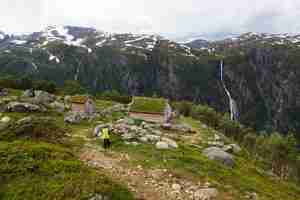
We descended below the tree line. We went past a few buildings with grass roofs but the doors were locked. Then a steep zigzag road leads down to the Bondhusvatnet lake. The lake from the previous picture is already above us - the waterfall on the river which flows out of this lake is clearly visible.
 |
 |
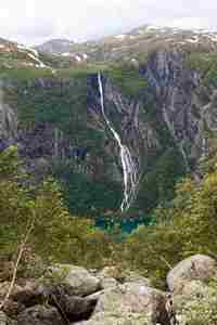
We can at last catch a glimpse of the lake which is our destination for today. |
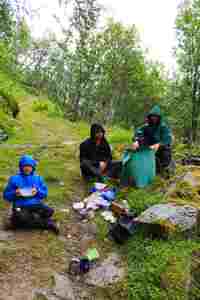
It started raining... We are having lunch right in the middle of the road - but there are no people here. |
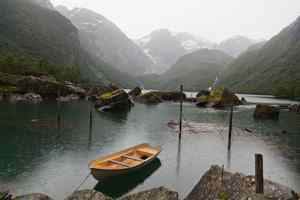
The famous Bondhusvatnet lake.
 |
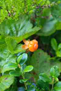 |
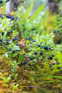
We found some bilberries by the lake, and even some cloudberries.

It was surprisingly hard to find a flat camping spot at the lake shore. We walked to the very end of the lake and then pitched our tents at the beach. When sun came out, the colours changed so dramatically as though we were teleported from rainy Norway to Caribbean.
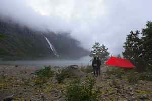
As soon as we started setting up our camp, the rain started again.
A gust of wind blew away the clouds, and we saw snow-covered mountains far away.
Day five. A round trip to Bondhusbrea glacier.
The blue line shows our track. The arrow shows direction of travel. The bus icon shows the bus stop, and the tent icon shows our camping spot. Shift-click on the track link will open it in nakarte.me.

Day five was rain-free! The plan for the day was to go up to the Bondhusbrea glacier, then back to the lake, pick up the backpacks and go all the way down to Sunndal. We planned to stay overnight in Sunndal campsite, catch a bus the following morning to Rosendal and go into the wild again.
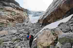
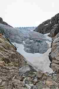
The Bondhusbrea glacier. The ice here is grey, blue ice is higher up.
The view from the bottom of the glacier towards Sunndal.
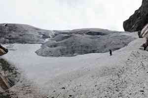
The snow field at the bottom of the glacier is actually quite steep although it looks OK in the picture.
 |
 |
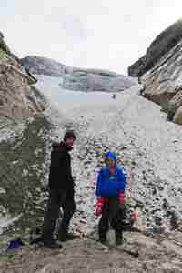
Victor and Lova put on crampons and climbed up to the glacier.
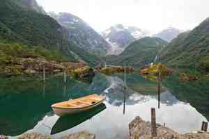
The same boat on the way back - but no rain this time!
The glacier seen from the Sunndal campsite. The campsite felt like return to civilisation: hot shower, drying room - what else does one need?


