Austria 28 March - 2 April 2024
← Previous 1 2
Day two
We went on a two-day tour with an overnight stay in a hut. We left the car at the Vorderlanersbach resort and skinned up, first on a forest road, then on the piste (the resort was closed due to strong winds) and then just up the mountain side.
The blue and red lines show our track to the hut and back. Shift-click on the track link will open it in nakarte.me.

At the top, the snow was well-compacted.
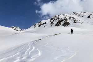
Judging by the yellow patches on the snow, the wind came from the Sahara desert.
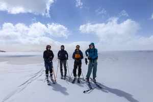
The wind was gusty but not too bad.
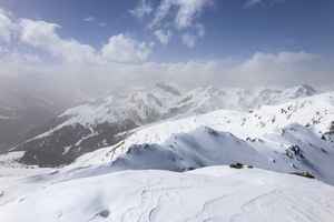
All the mountains were covered in a yellow haze.

We hid from the wind under a rock and had lunch.

Time to ski down.

Small avalanche cones were visible on the opposite side of the valley.

Last few metres of skinning up...
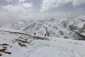
... and then down to the hut. The further down into the valley we went, the heavier the snow became. We made it to the hut, where we spent the night. Early in the morning we set off on our return journey.
Day three
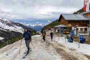
We are leaving Widener Hütte. There is not much snow left here.
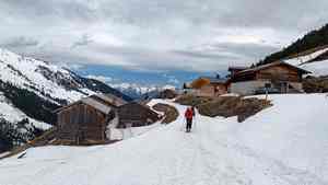
From the hut we skinned up towards Hörbarjoch

The track goes up along the valley. We crossed the stream and started ascending the opposite mountain side.
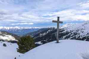
We have reached the ridge. Far below we could see the green valley of the river Inn.
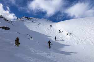
We were climbing higher and higher.
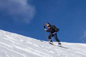
Sonya.
The mountains were all around us. The snow had already melted on steep rocks.

The snow got quite hard so we put on harscheisen (ski crampons).

Skinning up the ridge.

Near the highest point, the ridge became rocky.
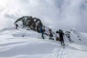
This rock was even steeper on the other side, so we traversed around it.
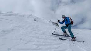
Starting the traverse...

We finally reached the summit and sat to eat lunch.
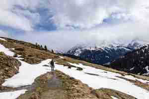
When we started our descend, a strong gust nearly blew us away. The icy crumbs were hitting us in the face. The wind began to die down as we descended lower.

On the descent, I put my camera away, so there are no more photographs. We scouted out snowy patches and tried to ski down for as long as possible. Eventually we had to take off our skis and walk.
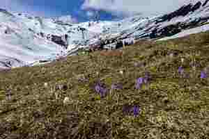
In the valley, the snow all but melted away. Crocuses were popping up everywhere. The spring had arrived!

The roof of this cattle hut was made of three layers of planks.
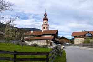
We returned home and in the evening went for a walk through the neighbouring village of Baumkirchen. It is spread out along a stream flowing down from the mountains. The village is small, quiet and deserted.
 |
 |
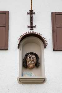
It was Easter time, so all the houses were decorated, but each in their own way.
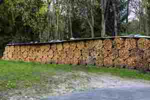
The village is adjacent to the forest, where villagers collect firewood. They stack the logs in different ways: sometimes in neat stacks, and sometimes like this. The logs are very long, almost a metre. They must have very deep stoves here.
 |
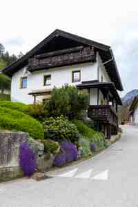 |
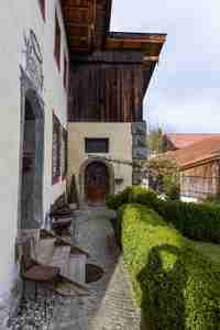
We saw both very old houses and modern buildings.

An installation by the window.

There was a bull on the balcony of this house. It was made of plastic, but it looked almost real.
Day four
The blue line shows our track. Shift-click on the track link will open it in nakarte.me.
 |
 |
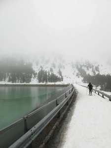
The weather forecast was pretty poor, but we couldn't stay at home on the last ski day. We decided to climb the Schafzöllen peak. As we drove to the car park, it was raining heavily. We put on our skis and crossed the dam. The water, even in this weather, had an amazingly beautiful colour. Here, the rain was falling as wet snow.
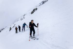
We occasionally got out of the clouds, but for the most part the visibility was very poor.

At the top: we take off ski skins and prepare for the descent.
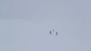
In this weather, the descent is not very different from the ascent.

We crossed this river over a bridge.
← Previous 1 2


